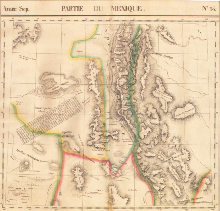
Shows what is today part of West Texas and New Mexico.
Philippe Vandermaelen (6 Maps)
Show Maps with Images Only5
1827: Tableau Provisoire D’Assembloge.. L’Amerique…
Cartography:
Philippe Vandermaelen
Philippe Vandermaelen
Rare additional map issued by Vandermaelen, showing how his atlas volumes of North America and South America could be joined … See more Tableau Provisoire D’Assembloge.. L’Amerique…
6
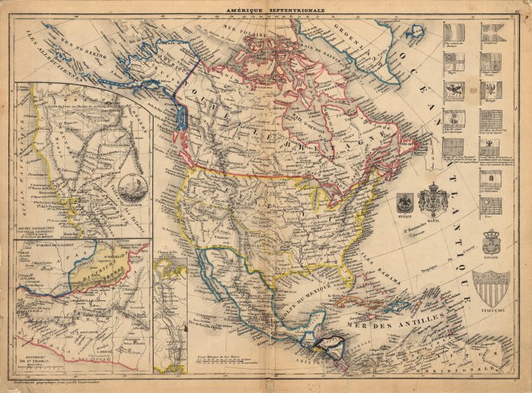
1849: Amerique Septentrionale
Cartography:
Philippe Vandermaelen
Philippe Vandermaelen
This 1849 map perhaps the first map made using the lithographic process to show the Republic of Texas. Printed by Philippe Vandermaelen … See more Amerique Septentrionale