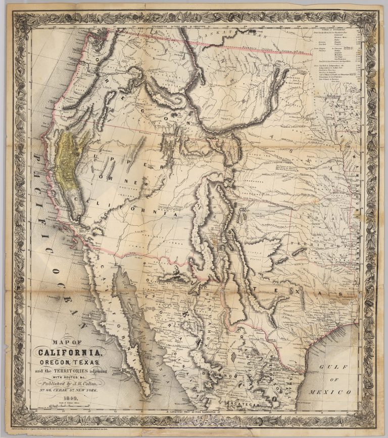
Joseph Hutchins Colton’s 1849 map is one of the most accurate of the period that was printed to satisfy the … See more Map of California, Oregon, Texas, and the Territories Adjoining
Joseph Hutchins Colton (2 Maps)
Show Maps with Images Only2
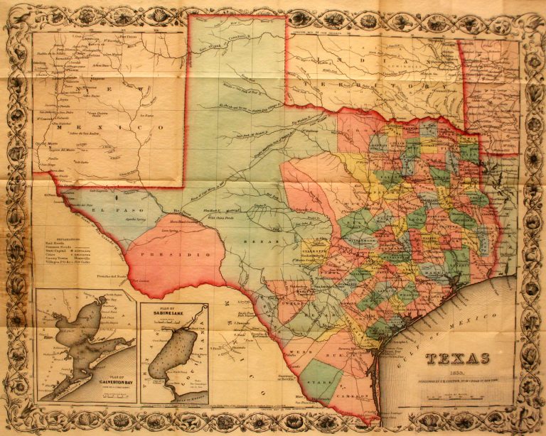
1853: Texas
Cartography:
Joseph Hutchins Colton
Joseph Hutchins Colton
This is the first pocket map of Texas following the Compromise of 1850. Designed to be folded up into its … See more Texas