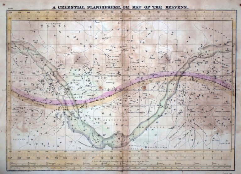
A Celestial Planisphere, or Map of the Heavens, from 1835. Made by cartographer F. J. Huntington, this hand-colored star chart … See more A Celestial Planisphere, or Map of the Heavens
Date: 1835 (8 Maps)
Show Maps with Images Only2

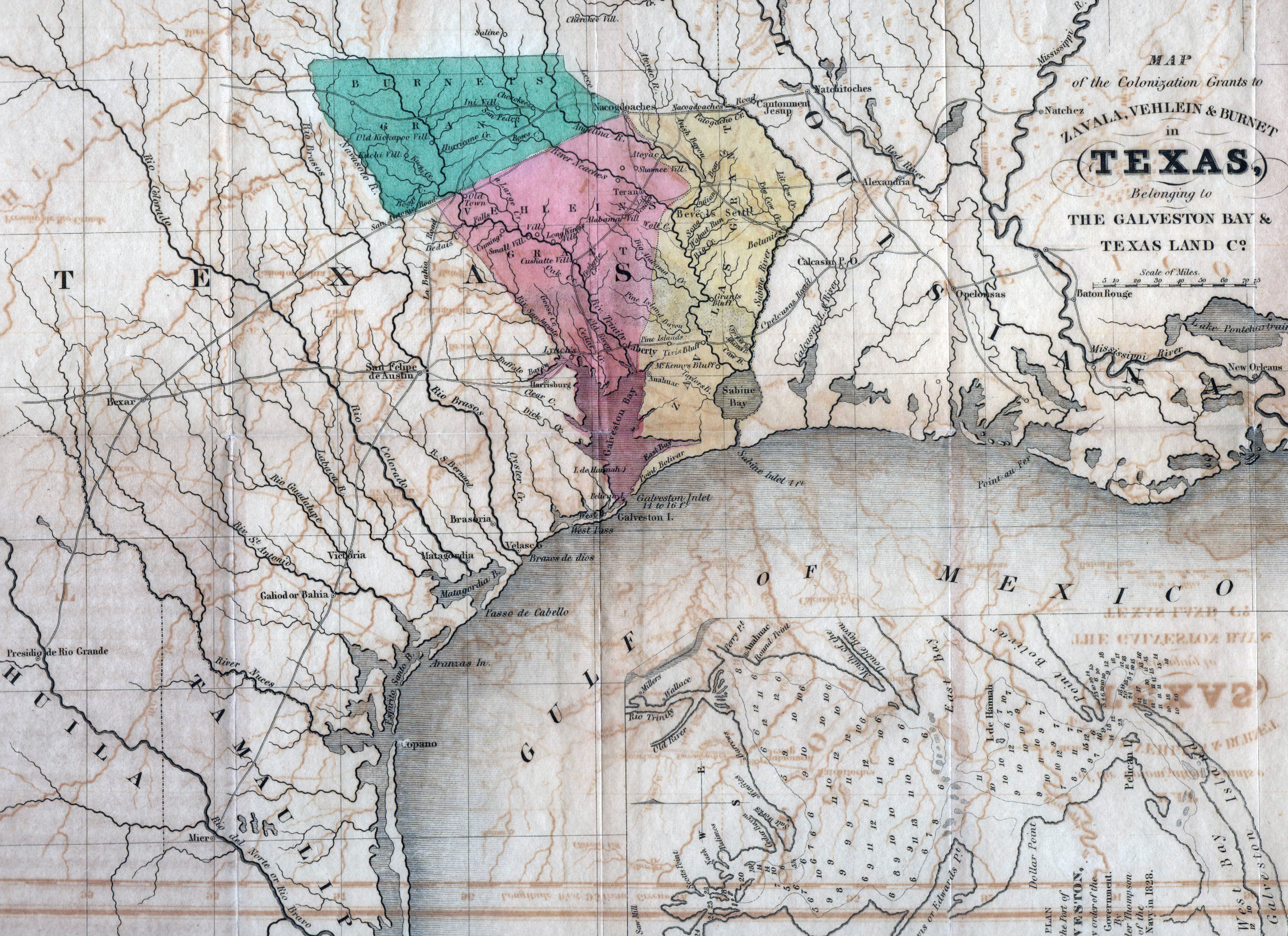
1835: Map of the Grants to Zavala, Vehlein & Burnet in Texas, belonging to The Galveston Bay & Texas Land Co.
Cartography:
David Woodman
David Woodman
This map was published in Woodman’s “Guide to Texas Emigrants,” the first Texas guide printed in English. The main purpose … See more Map of the Grants to Zavala, Vehlein & Burnet in Texas, belonging to The Galveston Bay & Texas Land Co.
3
1835: Texas from Comprehensive Atlas
First map printed as part of an atlas to show the Empresario Grants in Texas, a year before Texas declared … See more Texas from Comprehensive Atlas
8

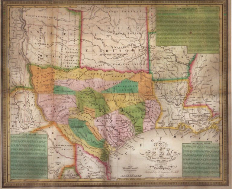
1835: A New Map of Texas
Cartography:
J. H. Young
J. H. Young
One of the most influential of the Republic of Texas maps, just predating the revolution by months. This map was … See more A New Map of Texas
