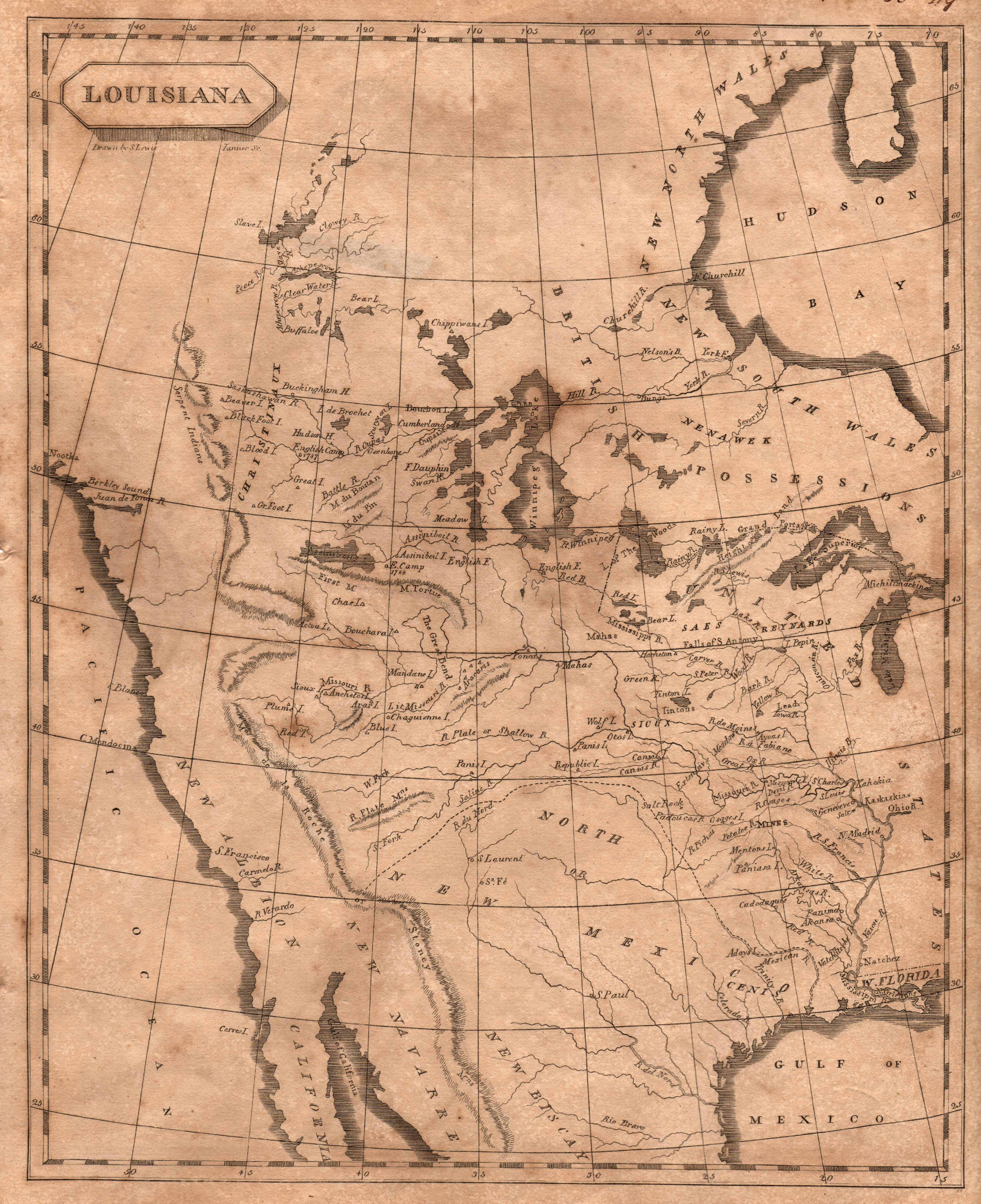
The classic map of 1804 produced by British cartographer Aaron Arrowsmith and American cartographer, Samuel Lewis (later cartographer for Lewis … See more Louisiana
Aaron Arrowsmith (2 Maps)
Show Maps with Images Only2
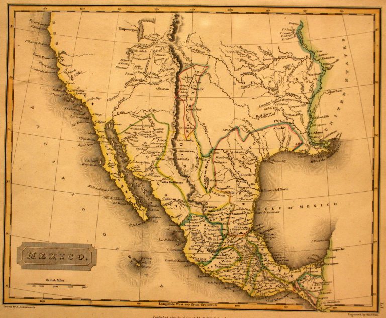
1817: Mexico
Cartography:
Aaron Arrowsmith
Aaron Arrowsmith
In 1785, the Spanish crown divided New Spain (Mexico) into administrative districts known as “Intendencias.” Texas, which had been part of … See more Mexico