One of the first nautical charts of the Texas coast.
Geography: United States (21 Maps)
Show Maps with Images Only2
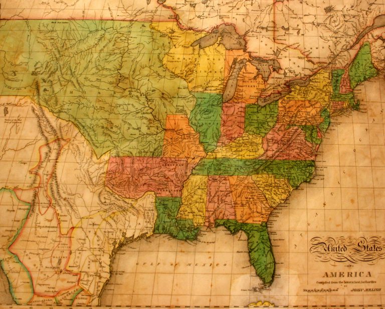
1822: United States of America
Cartography:
John Melish
John Melish
This is the first map in the collection at the Museum of the Big Bend to show Texas as a … See more United States of America
4
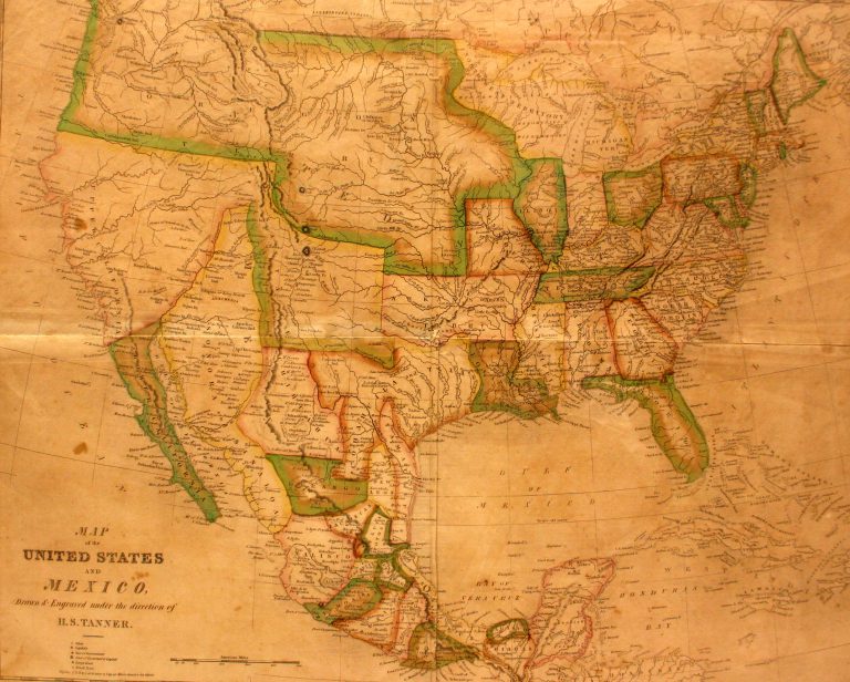
1827: Smiley’s Geography Atlas map of the United States and Mexico
Cartography:
Henry Schenck Tanner
Henry Schenck Tanner
In 1824, Mexico passed a new constitution which combined the two states of Texas and Coahuila, and this is the … See more Smiley’s Geography Atlas map of the United States and Mexico