Printed in “Skol Atlas.”
Date: 1834 (3 Maps)
Show Maps with Images Only2

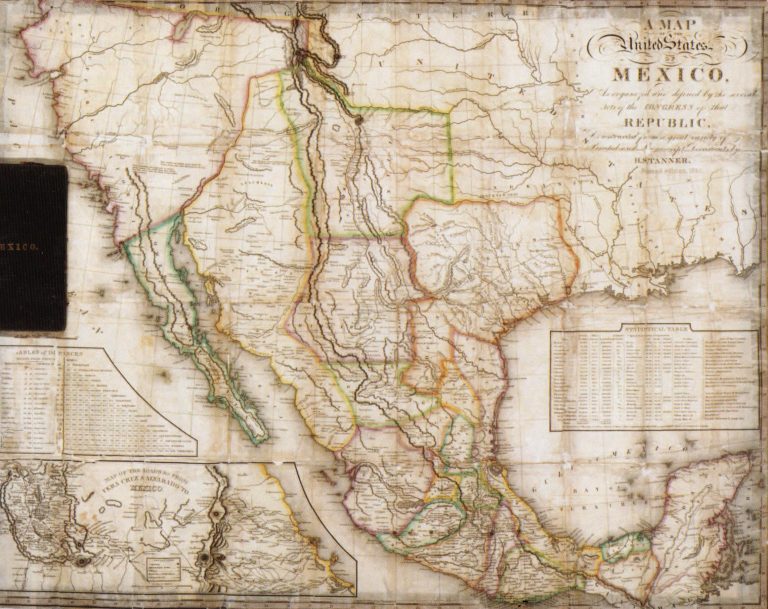
1834: Map of the United States of Mexico as Organized and Defined by the Congress of that Republic
Cartography:
Henry Schenck Tanner
Henry Schenck Tanner
This large pocket map includes two insets, a) Table of Distances and b) Map of the Roads from Vera Cruz … See more Map of the United States of Mexico as Organized and Defined by the Congress of that Republic
3
1834: Mexico & Guatemala
Cartography:
Henry Schenck Tanner
Henry Schenck Tanner
Includes insets of “Valley of Mexico” and “Guatemala.” While it has a copyright date of 1834, this map was actually … See more Mexico & Guatemala