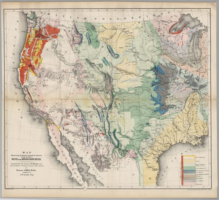
This map by Professor James Hall is one of the first geological maps of Western United States and Mexico. Based … See more Map Illustrating the General Geological Features of the Country West of the Mississippi River
Date: 1857 (3 Maps)
Show Maps with Images Only2

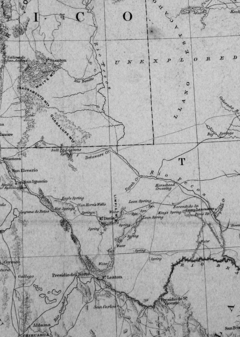
1857: Map of the United States and their Territories Between the Mississippi and the Pacific Ocean, and Part of Mexico
Cartography:
William H. Emory
William H. Emory
Article V of the Treaty of Guadalupe-Hidalgo, which ended the U.S.-Mexico War, specified in part that In order to designate … See more Map of the United States and their Territories Between the Mississippi and the Pacific Ocean, and Part of Mexico
3

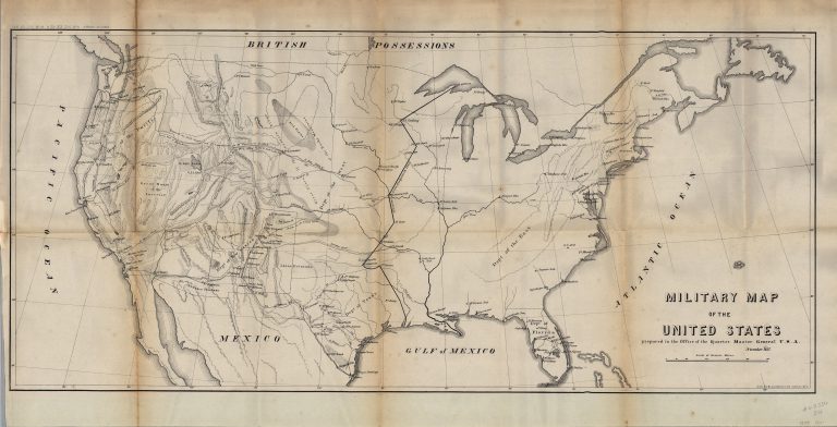
1857: Military Map of the United States
Cartography:
U.S. War Department
U.S. War Department
Interesting map of the United States, focusing on the Military Forts and Military Districts between the US-Mexico War and the … See more Military Map of the United States
