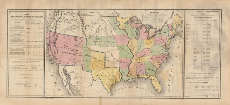
This map shows the United States following the US-Mexico War (1846-48), but prior to the Compromise of 1850 and the … See more Lines of Treaty Map of the United States between 1783 and 1848
U.S. Government (3 Maps)
Show Maps with Images Only2

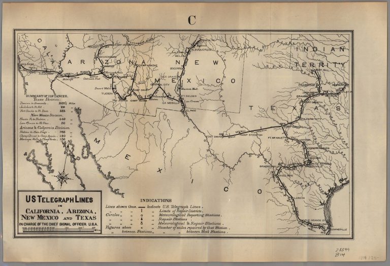
1879: U. S. Telegraph Lines in California, Arizona, New Mexico and Texas in Charge of the Chief Signal Officer, U.S.A.
Cartography:
U.S. Government
U.S. Government
The U.S. Army Signal Corps was given responsibility for putting in military telegraph lines connecting Army bases in 1867, and … See more U. S. Telegraph Lines in California, Arizona, New Mexico and Texas in Charge of the Chief Signal Officer, U.S.A.
3

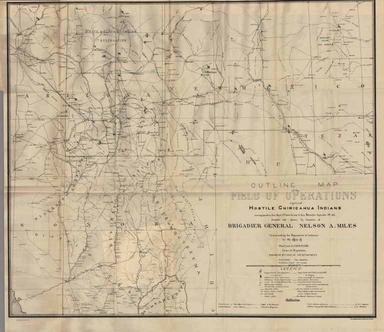
1886: Outline Map of the Field of Operations Against Hostile Chiricahua Indians… Compiled and Drawn by Direction of Brigadier General Nelson A. Miles
Cartography:
U.S. Government
U.S. Government
During the Civil War, Nelson Appleton Miles of Massachusetts displayed remarkable leadership in the field, won the Medal of Honor, and rose … See more Outline Map of the Field of Operations Against Hostile Chiricahua Indians… Compiled and Drawn by Direction of Brigadier General Nelson A. Miles
