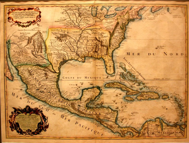
This map, by French cartographer Guillaume Del’Isle (1675-1726), shows both the Mississippi River and the Rio Grande, thus making it … See more Carte du Mexique et de la Floride
Guillaume Del'Isle (2 Maps)
Show Maps with Images Only2

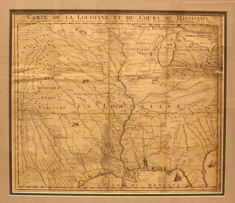
1718/1735: Carte de la Louisiane et du Cours du Mississipi
Cartography:
Jean Frederick Bernard
Jean Frederick Bernard
This is the first map to have a reference to TEXAS on it. Based on Del’Isle’s 1718 map, it shows … See more Carte de la Louisiane et du Cours du Mississipi
3

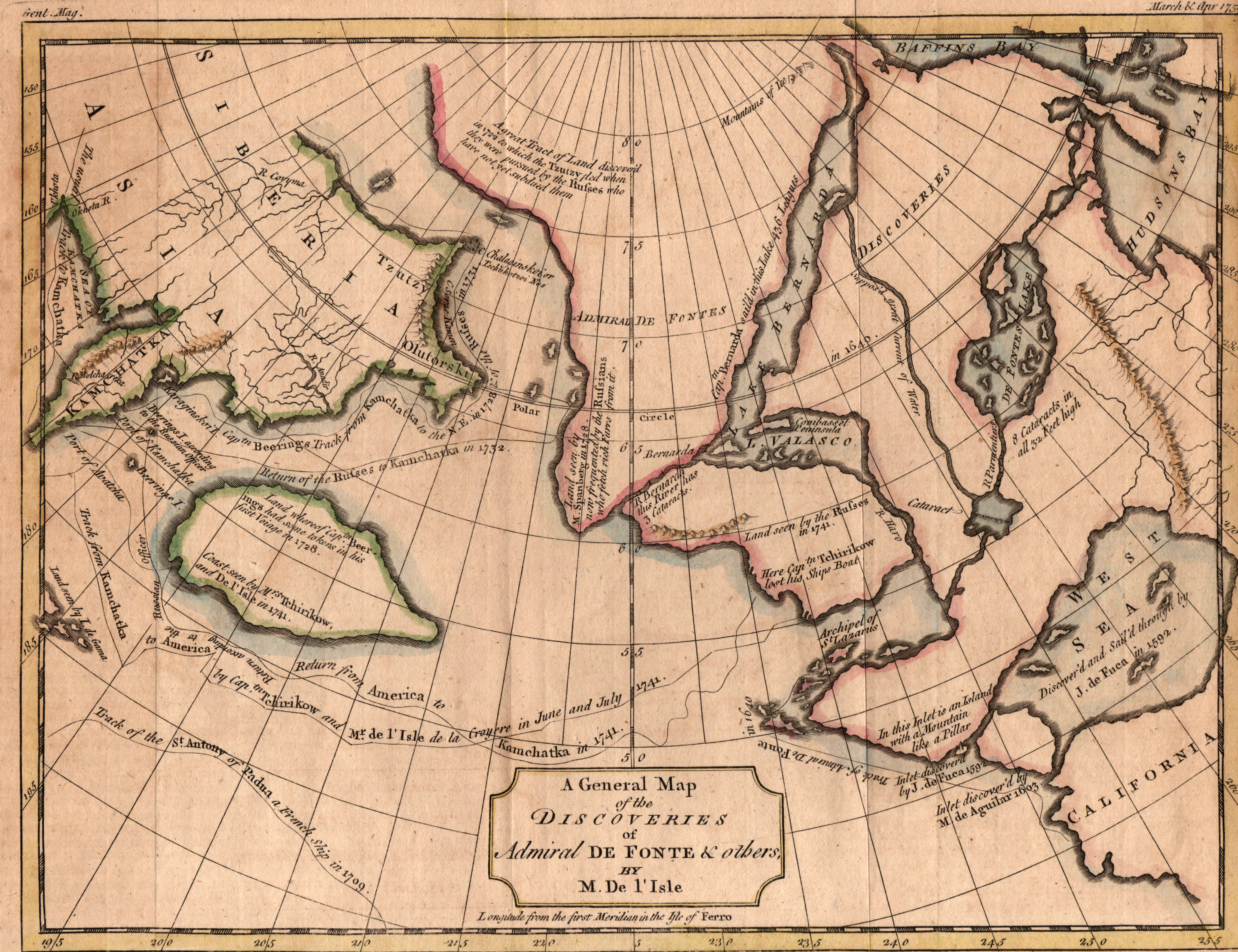
1757: A General Map of the Discoveries of Admiral De Fonte & others by M. Del’Isle
Cartography:
Thomas Kitchin
Thomas Kitchin
This map by Thomas Kitchin is his version of the 1752 map published in Paris by M. Del’Isle, depicting the … See more A General Map of the Discoveries of Admiral De Fonte & others by M. Del’Isle
