An interesting Norwegian edition of Bellin’s map.
Jacques Bellin (6 Maps)
Show Maps with Images Only3
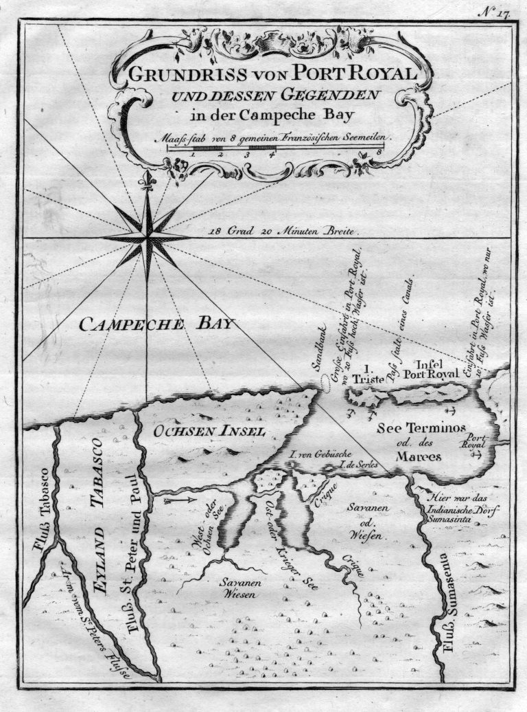
1756: Grundriss von Port Royal und dessen Gegenden in der Campeche Bay
Cartography:
Jacques Bellin
Jacques Bellin
A map of the Bay of Campeche, in Mexico, published in 1756. The Island of Port Royal is today known … See more Grundriss von Port Royal und dessen Gegenden in der Campeche Bay