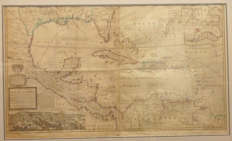
One of the most remarkable maps of the West Indies to appear in the 18th Century. In addition to showing … See more A Map of the West Indies or the Islands of America in the North Sea, with ye adjacent Countries
Herman Moll (3 Maps)
Show Maps with Images Only2
1723: A General Description of America
Cartography:
Herman Moll
Herman Moll
English cartographer Herman Moll’s maps were not only important during his lifetime, even helping settle many of the imperial disputes … See more A General Description of America
3
1735: A Map of New France Containing Canada, Louisiana, in North America
Cartography:
Herman Moll
Herman Moll
Moll’s map of New France. The map provides an especially detailed look at the regions between the Appalachians and the … See more A Map of New France Containing Canada, Louisiana, in North America
