Italian map of the Straits of Messina.
Geography: Misc (3 Maps)
Show Maps with Images Only2
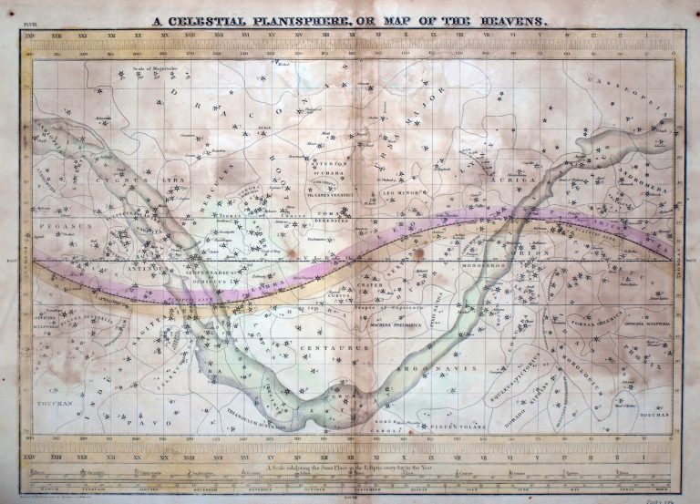
1835: A Celestial Planisphere, or Map of the Heavens
Cartography:
F. J. Huntington
F. J. Huntington
A Celestial Planisphere, or Map of the Heavens, from 1835. Made by cartographer F. J. Huntington, this hand-colored star chart … See more A Celestial Planisphere, or Map of the Heavens