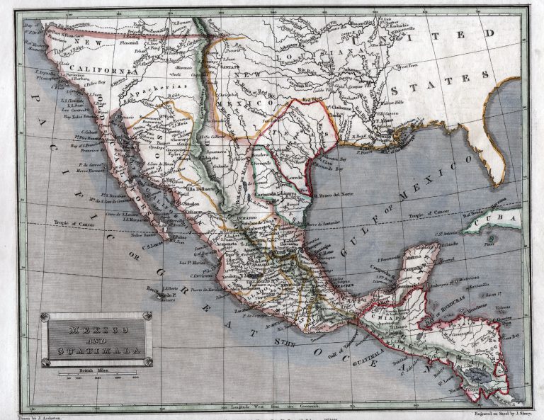
This 1829 map, by London-based printer Thomas Tegg, shows a diamond-shaped Texas as its own state in Mexico, but as … See more Mexico and Guatimala
Date: 1829 (4 Maps)
Show Maps with Images Only3
1829: Sketch of Part of the State of Louisiana
Cartography:
United States General Land Office
United States General Land Office
Shows eastern Louisiana from “Bastrop claim west of the Mississippi to Red River south to Vermillion Bay and New Orleans.” … See more Sketch of Part of the State of Louisiana