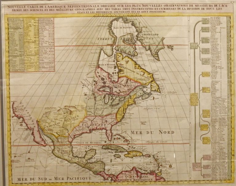
Published by Chatelain in Amsterdam in the 1705 edition of his Atlas Historique. Shows some of the first correct depictions … See more Nouvelle Carte de L’Amerique Septentrionale
Henri Chatelain (2 Maps with Images)
Show All Maps2
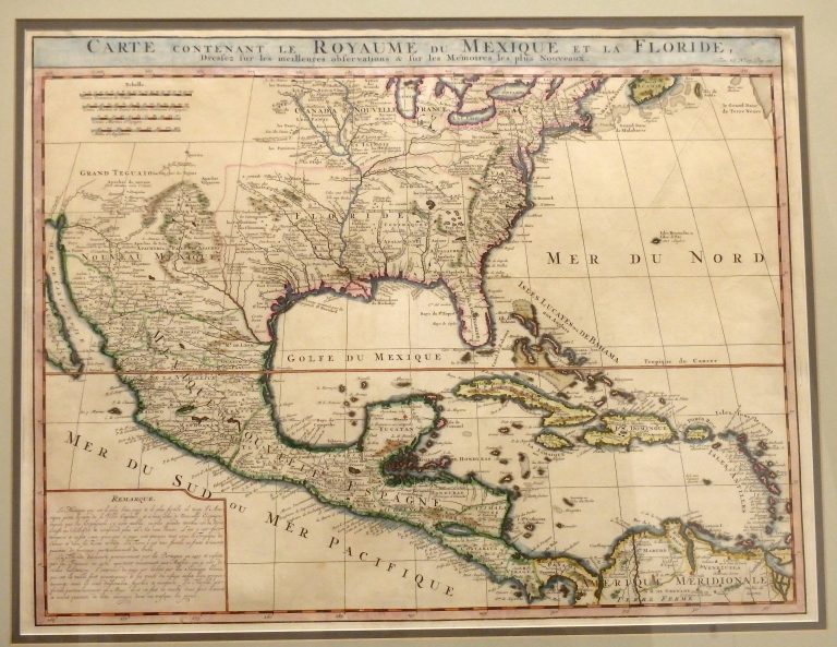
1719: Carte Contenant Le Royaume Du Mexique Et La Floride
Cartography:
Henri Chatelain
Henri Chatelain
This 1719 map by Dutch cartographer Henri Chatelain, covering the southern portion of North America, was basically an updated map … See more Carte Contenant Le Royaume Du Mexique Et La Floride