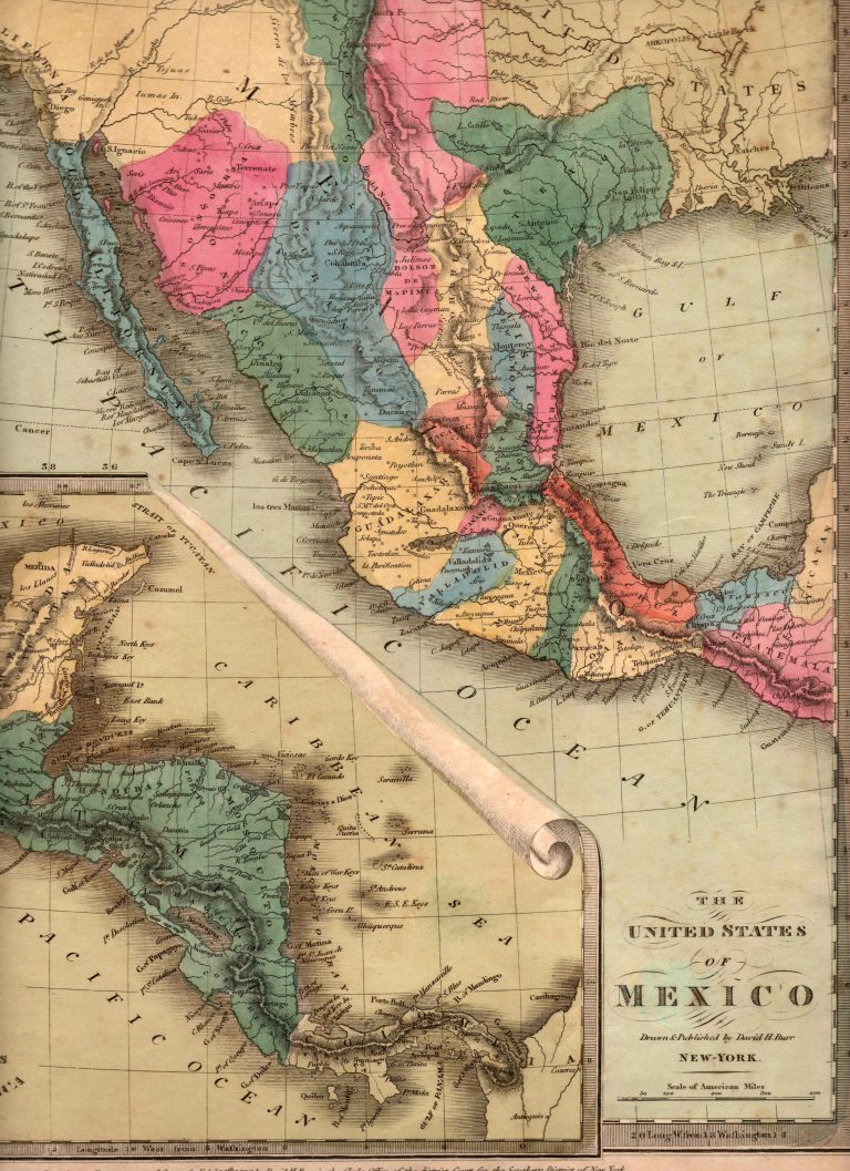
An interesting map by American cartographer David Burr, showing the Mexican state of TEXAS, with its border with Coahuila located … See more The United States of Mexico
Theme: Political (56 Maps)
Show Maps with Images Only35
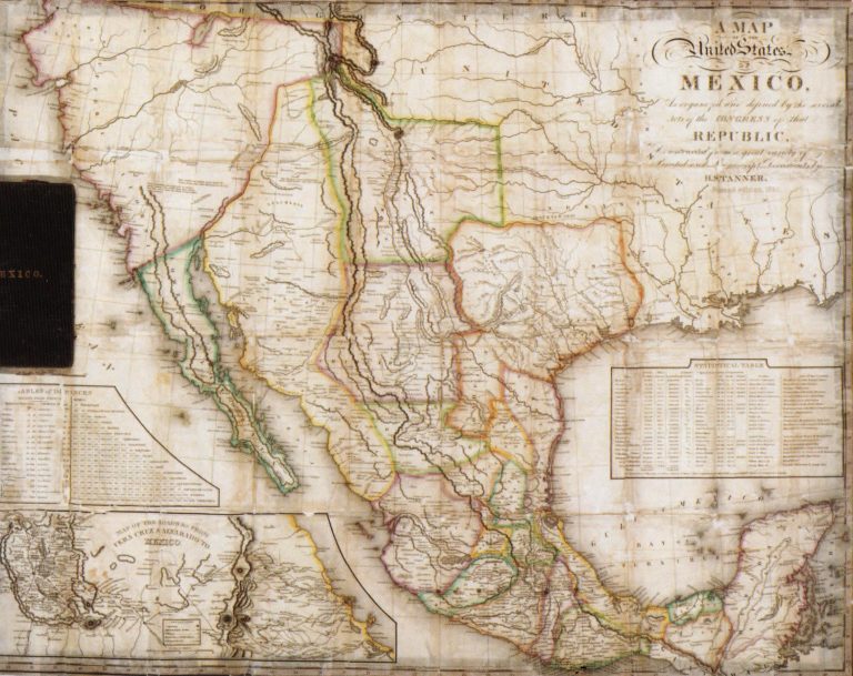
1834: Map of the United States of Mexico as Organized and Defined by the Congress of that Republic
Cartography:
Henry Schenck Tanner
Henry Schenck Tanner
This large pocket map includes two insets, a) Table of Distances and b) Map of the Roads from Vera Cruz … See more Map of the United States of Mexico as Organized and Defined by the Congress of that Republic
36
1834: Mexico & Guatemala
Cartography:
Henry Schenck Tanner
Henry Schenck Tanner
Includes insets of “Valley of Mexico” and “Guatemala.” While it has a copyright date of 1834, this map was actually … See more Mexico & Guatemala
37
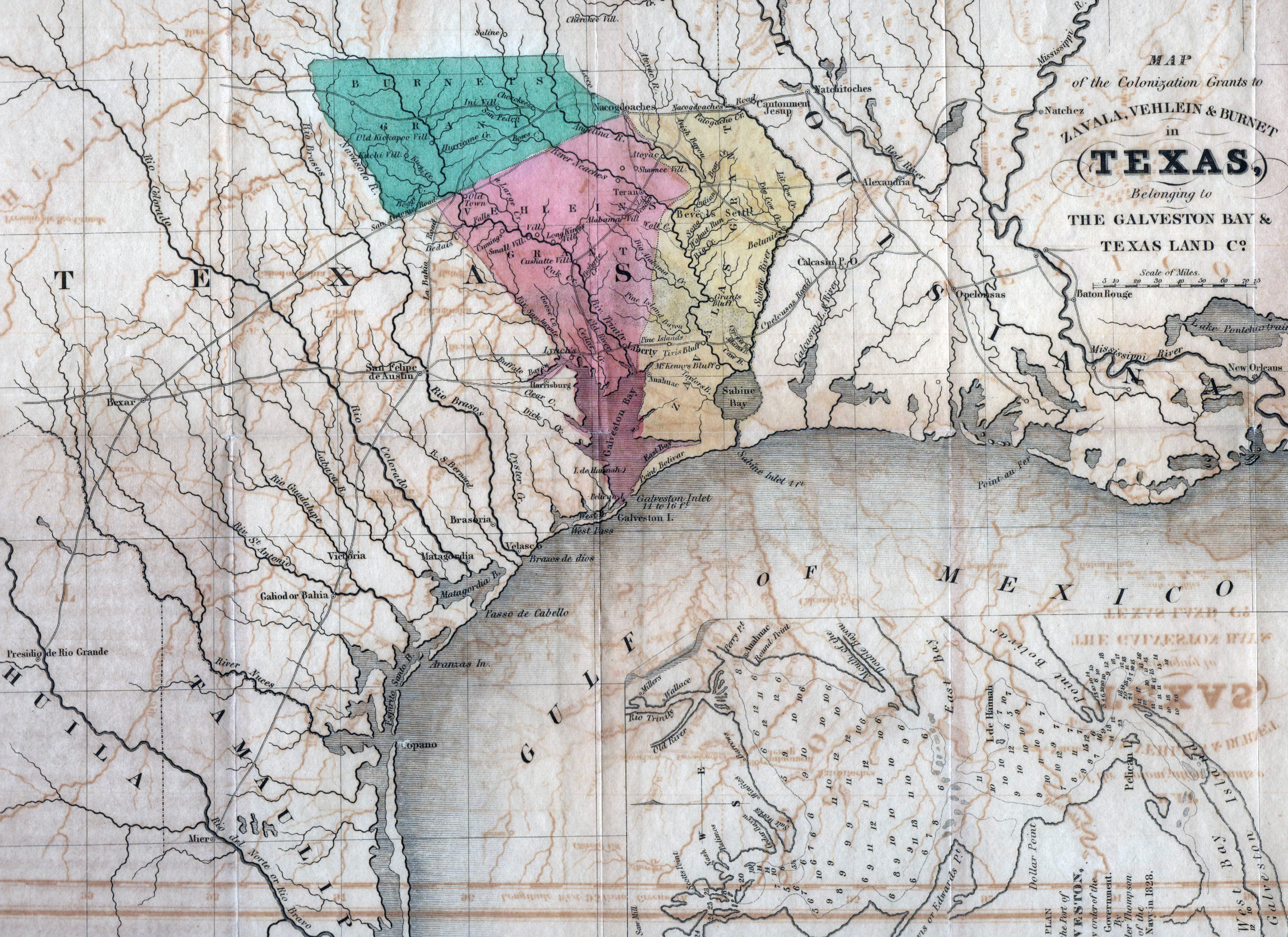
1835: Map of the Grants to Zavala, Vehlein & Burnet in Texas, belonging to The Galveston Bay & Texas Land Co.
Cartography:
David Woodman
David Woodman
This map was published in Woodman’s “Guide to Texas Emigrants,” the first Texas guide printed in English. The main purpose … See more Map of the Grants to Zavala, Vehlein & Burnet in Texas, belonging to The Galveston Bay & Texas Land Co.
38
1835: Texas from Comprehensive Atlas
First map printed as part of an atlas to show the Empresario Grants in Texas, a year before Texas declared … See more Texas from Comprehensive Atlas