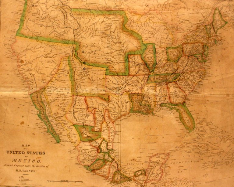
In 1824, Mexico passed a new constitution which combined the two states of Texas and Coahuila, and this is the … See more Smiley’s Geography Atlas map of the United States and Mexico
Theme: Political (56 Maps)
Show Maps with Images Only22
1827: Mexico
Cartography:
Neely & Sons
Neely & Sons
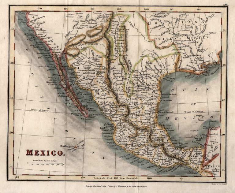
Map of Mexico, printed in England in 1827. The region of Texas between the Red River and the Pecos (Puerco) … See more Mexico
28
1827: Tableau Provisoire D’Assembloge.. L’Amerique…
Cartography:
Philippe Vandermaelen
Philippe Vandermaelen
Rare additional map issued by Vandermaelen, showing how his atlas volumes of North America and South America could be joined … See more Tableau Provisoire D’Assembloge.. L’Amerique…
29
1828: Mexico
Cartography:
Sidney Hall
Sidney Hall
Map of Mexico, published in London as an independent wall map and not part of an atlas, indicating European interest … See more Mexico
30
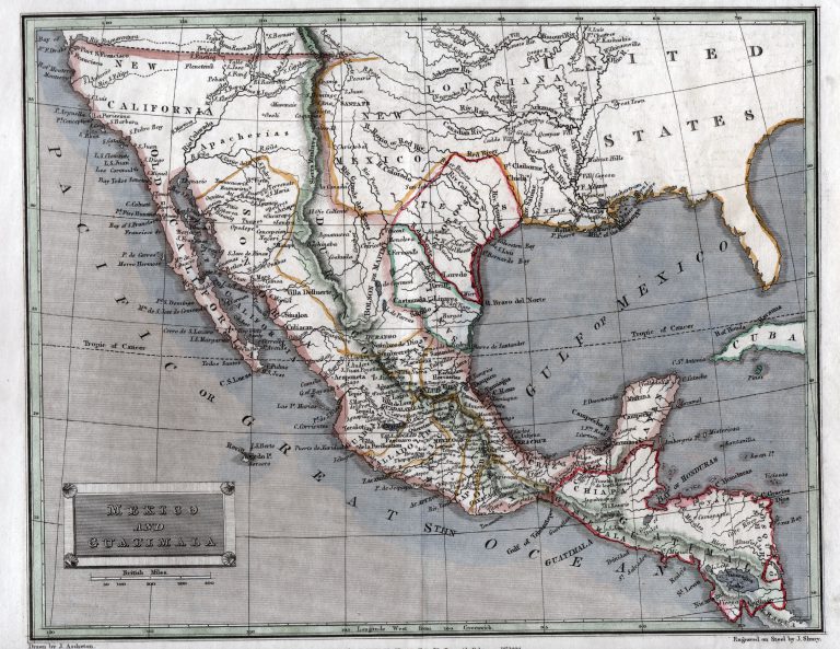
1829: Mexico and Guatimala
Cartography:
Thomas Tegg
Thomas Tegg
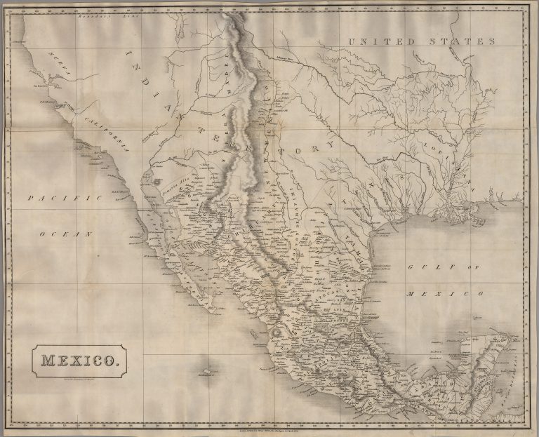
This 1829 map, by London-based printer Thomas Tegg, shows a diamond-shaped Texas as its own state in Mexico, but as … See more Mexico and Guatimala