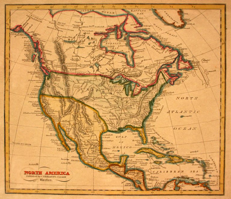
In 1803, Emperor Napoleon Bonaparte sold Louisiana to the United States. The southwestern boundary of Louisiana was unclear, however; where … See more North America
Theme: Political (6 Maps with Images)
Show All Maps12
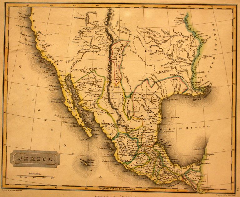
1817: Mexico
Cartography:
Aaron Arrowsmith
Aaron Arrowsmith
In 1785, the Spanish crown divided New Spain (Mexico) into administrative districts known as “Intendencias.” Texas, which had been part of … See more Mexico
13
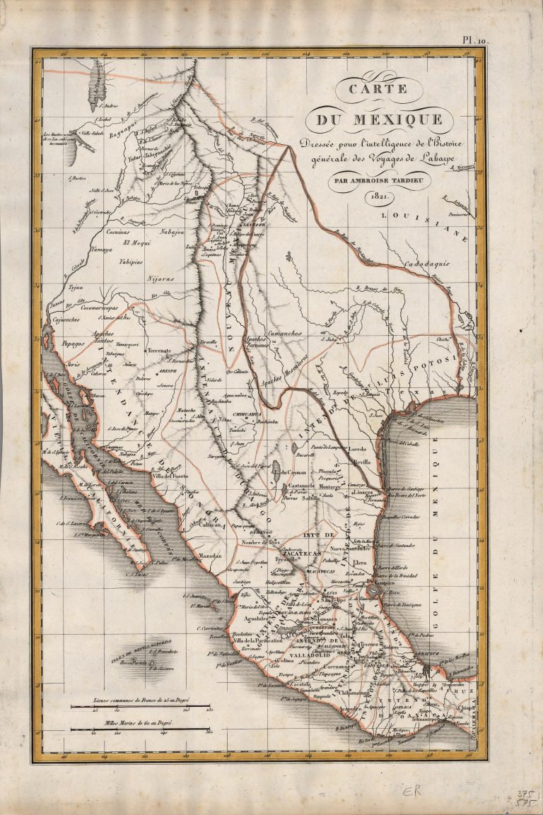
1821: Carte du Mexique
Cartography:
Ambroise Tardieu
Ambroise Tardieu
Fine Humboldt-inspired map of Mexico, in the midst of its struggle for Independence from Spain, published the same year as … See more Carte du Mexique
14
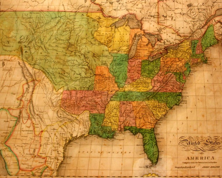
1822: United States of America
Cartography:
John Melish
John Melish
This is the first map in the collection at the Museum of the Big Bend to show Texas as a … See more United States of America
15

1824: Amerique Septentrionale
Cartography:
B. Tardieu
B. Tardieu
This interesting map was engraved by B. Tardieu, a member of the famous Tardieu family of French engravers, and was … See more Amerique Septentrionale
16
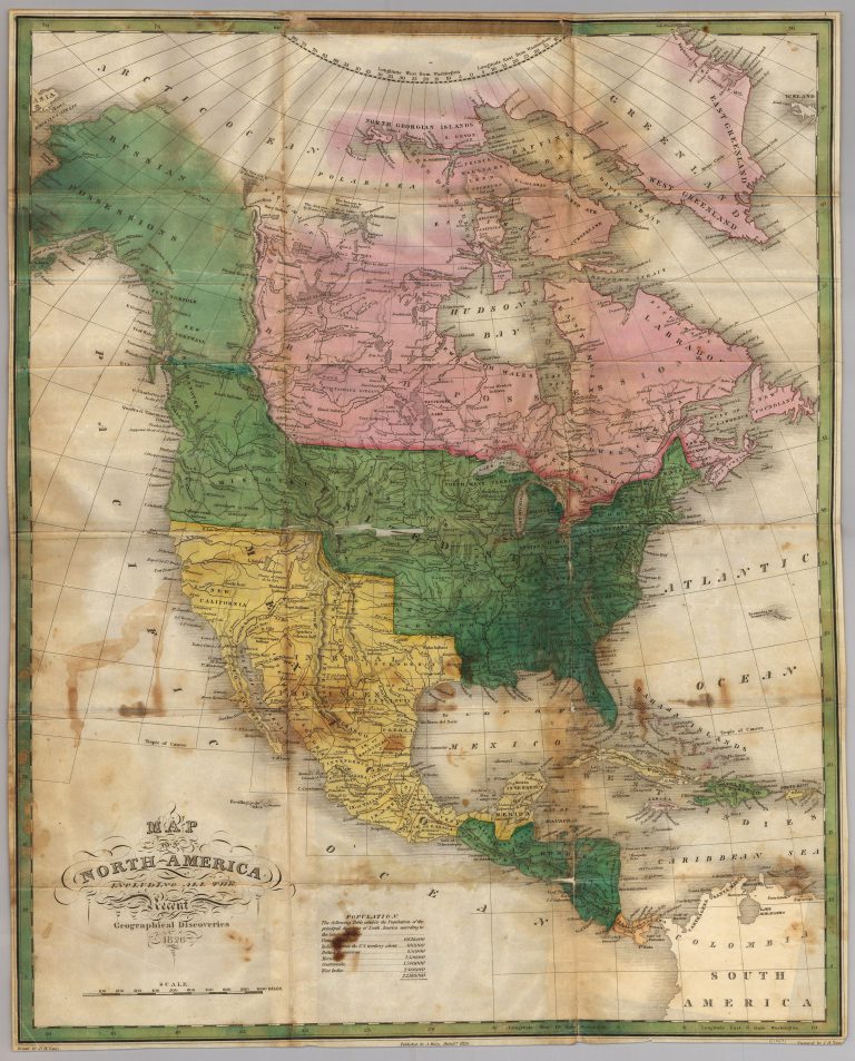
1826: Map of North America
Cartography:
Anthony Finley
Anthony Finley
Anthony Finley’s 1826 large-format map of North America. Russian Possessions (Alaska) and a large 54-40 or fight border with the … See more Map of North America