An interesting map, most likely printed in 1845, showing the United States just before the annexation of Texas and the … See more The United States, The Relative Position of The Oregon & Texas and California
Geography: America (58 Maps)
Show Maps with Images Only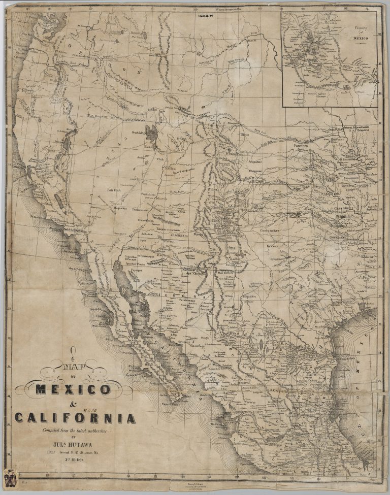
1849: Map of Mexico and California
Julius Hutawa
Julius Hutawa was a lithographer and printer based out of St. Louis, Missouri. He specialized in making maps for western … See more Map of Mexico and California
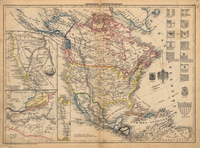
1849: Amerique Septentrionale
Philippe Vandermaelen
This 1849 map perhaps the first map made using the lithographic process to show the Republic of Texas. Printed by Philippe Vandermaelen … See more Amerique Septentrionale
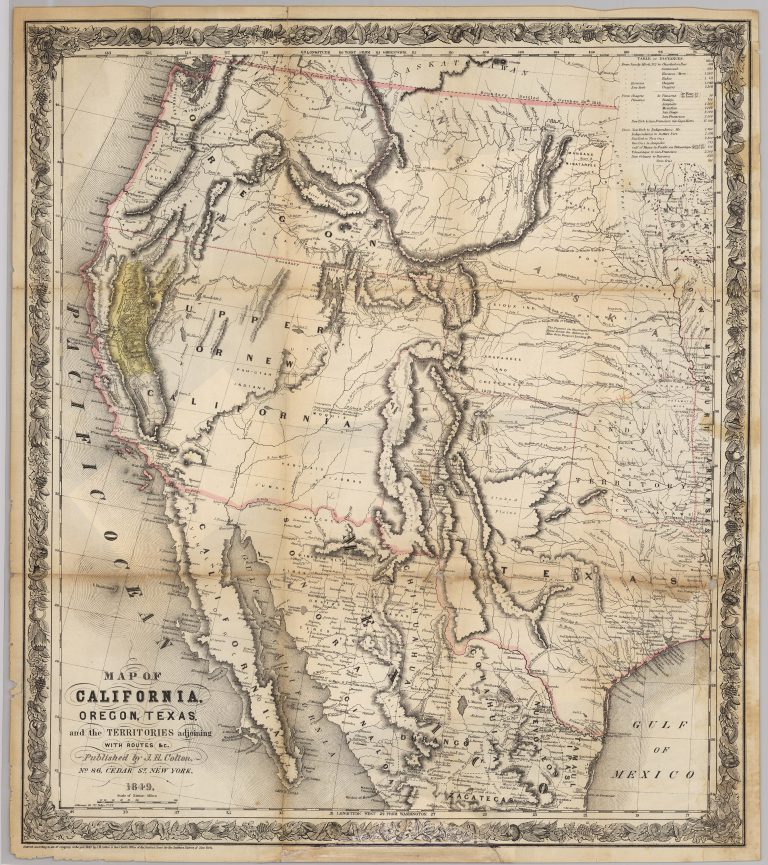
1849: Map of California, Oregon, Texas, and the Territories Adjoining
Joseph Hutchins Colton
Joseph Hutchins Colton’s 1849 map is one of the most accurate of the period that was printed to satisfy the … See more Map of California, Oregon, Texas, and the Territories Adjoining
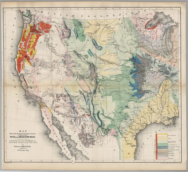
1857: Map Illustrating the General Geological Features of the Country West of the Mississippi River
James Hall
This map by Professor James Hall is one of the first geological maps of Western United States and Mexico. Based … See more Map Illustrating the General Geological Features of the Country West of the Mississippi River
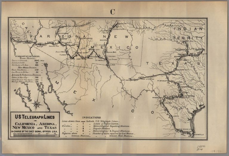
1879: U. S. Telegraph Lines in California, Arizona, New Mexico and Texas in Charge of the Chief Signal Officer, U.S.A.
U.S. Government
The U.S. Army Signal Corps was given responsibility for putting in military telegraph lines connecting Army bases in 1867, and … See more U. S. Telegraph Lines in California, Arizona, New Mexico and Texas in Charge of the Chief Signal Officer, U.S.A.
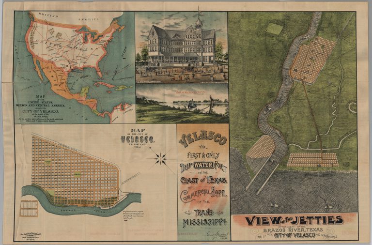
1892: Map of the United States, Mexico and Central America, showing the City of Velasco, Texas
August Gast
The original city of Velasco was founded in Brazoria County, Texas, in 1831. Velasco was destroyed by a hurricane in … See more Map of the United States, Mexico and Central America, showing the City of Velasco, Texas
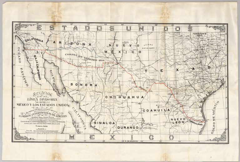
1911: Situacion de la Linea Divisoria entre Mexico y Los Estados Unidos
Thomas E. Perry
Anson Mills, after failing out at West Point in 1857, settled in El Paso, Texas, where be was hired by … See more Situacion de la Linea Divisoria entre Mexico y Los Estados Unidos
