This map shows excellent detail for the time in Texas, Arizona and New Mexico, but a badly misprojected Baja California, which … See more Le Nouveau Mexique
Theme: Exploration (29 Maps)
Show Maps with Images Only1788: Louisiana
Jean Baptiste Bourguignon d'Anville
Jean Baptiste Bourguuignon D’Anville’s map of the Gulf Coast. D’Anville’s map presents a highly detailed treatment of the region from … See more Louisiana
1803: Amerique Septentrionale
Jean Baptiste Poirson
Fascinating early map of North America, issued immediately after the Louisiana Purchase in early 1803. The most immediately noticable feature … See more Amerique Septentrionale
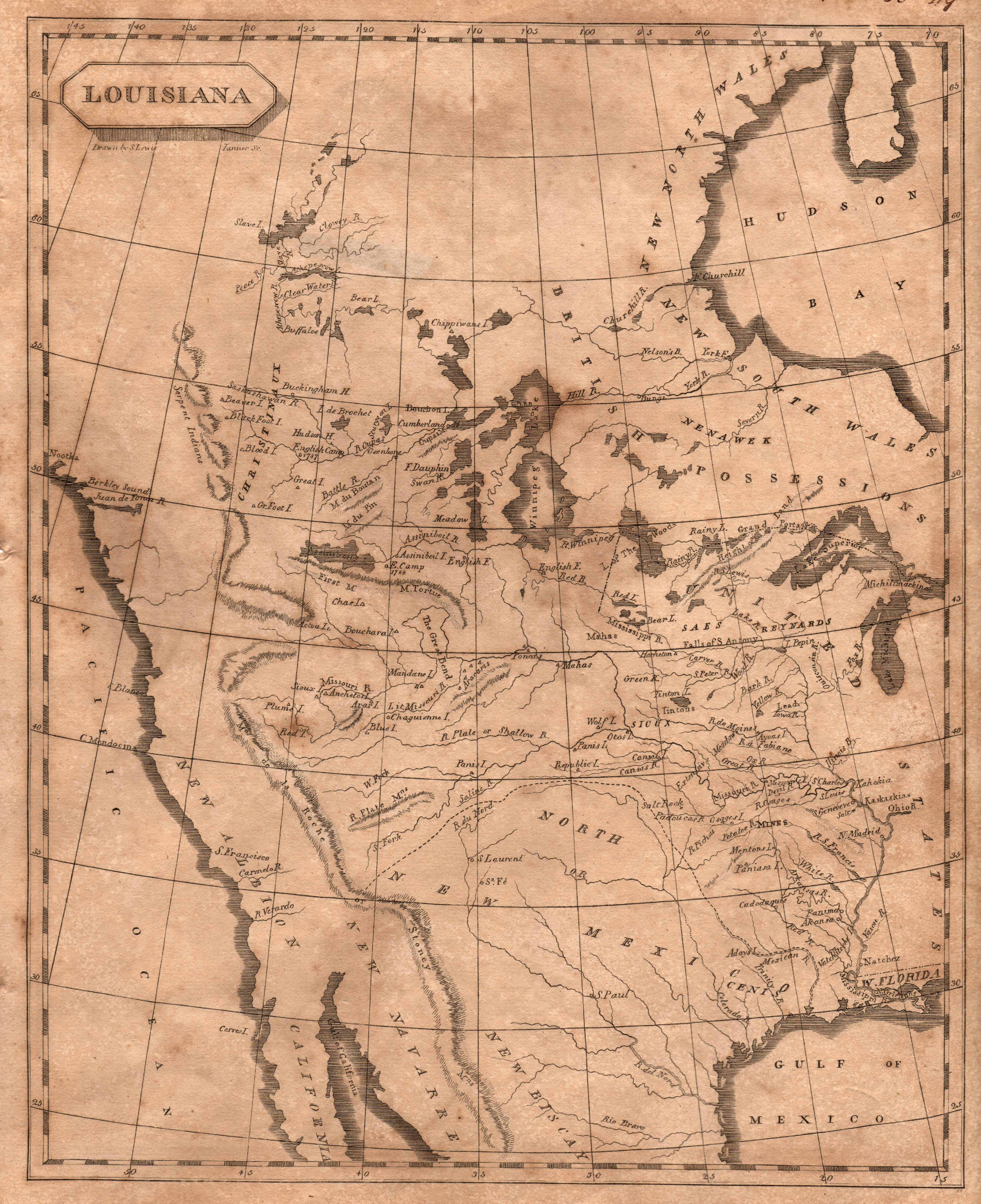
1804: Louisiana
Samuel Lewis
The classic map of 1804 produced by British cartographer Aaron Arrowsmith and American cartographer, Samuel Lewis (later cartographer for Lewis … See more Louisiana
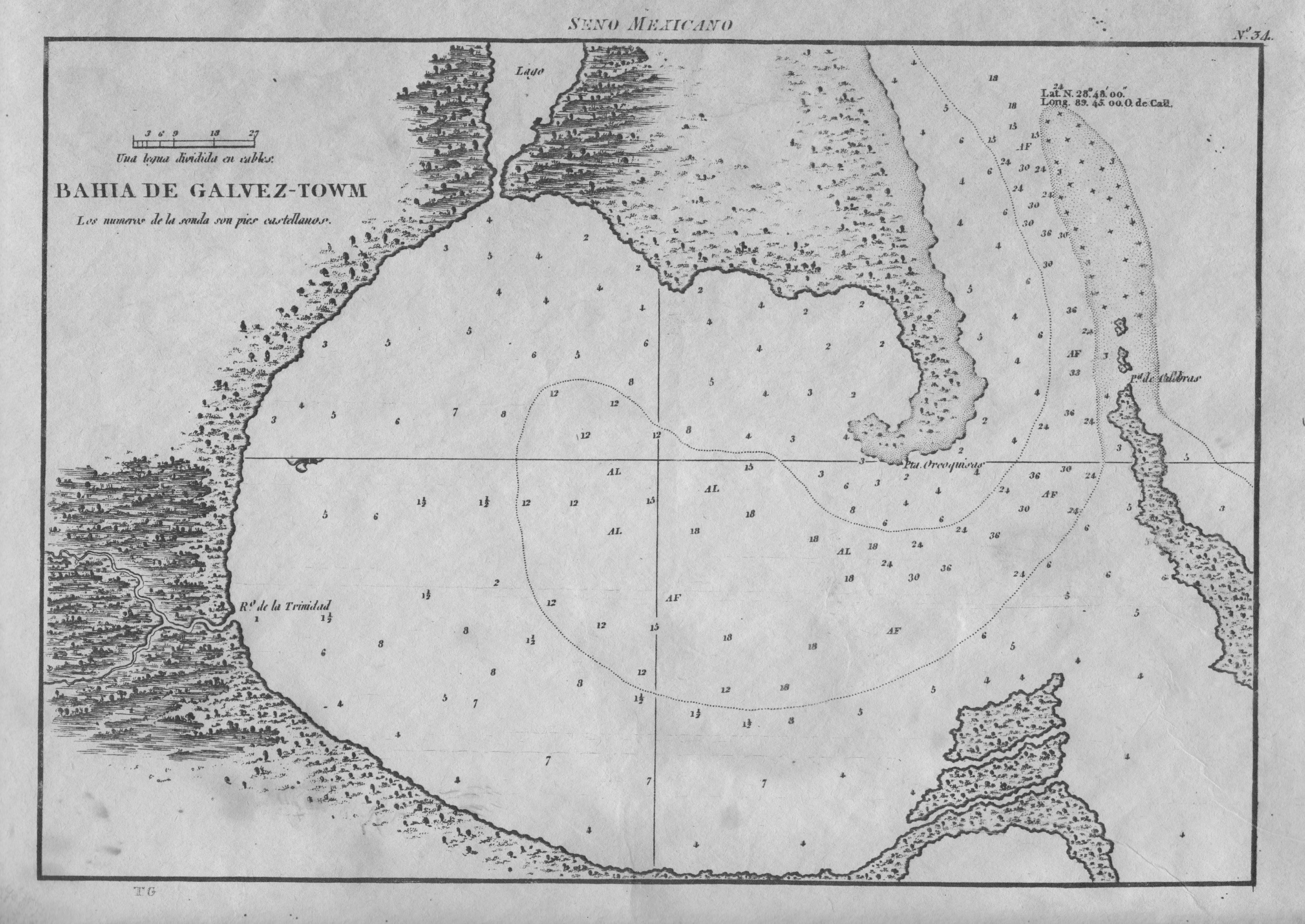
1809: Bahia de Galvez-Towm
Jose de Evia
Spanish naval chart, and the first map devoted specifically to Galveston Bay. It is based on Jose de Evia’s 1783-86 … See more Bahia de Galvez-Towm
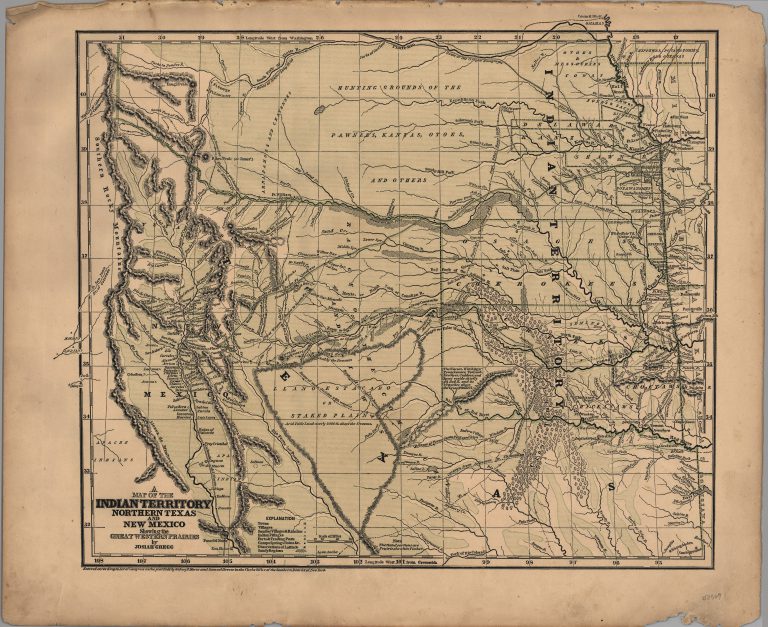
1844: A Map of Indian Territory, Northern Texas and New Mexico, showing the Great Western Prairies
Josiah Gregg
This map was published by Josiah Gregg in his book Commerce of the Prairies in 1844 and in his Atlas … See more A Map of Indian Territory, Northern Texas and New Mexico, showing the Great Western Prairies
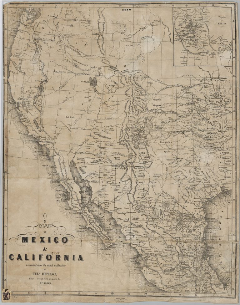
1849: Map of Mexico and California
Julius Hutawa
Julius Hutawa was a lithographer and printer based out of St. Louis, Missouri. He specialized in making maps for western … See more Map of Mexico and California
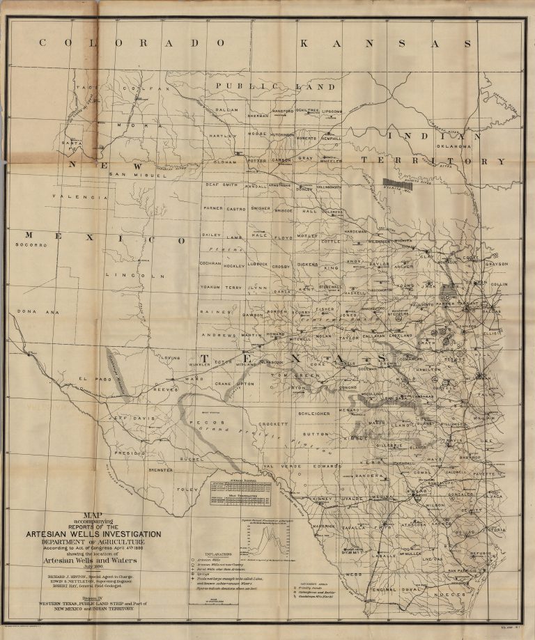
1890: Map Accompanying Reports of the Artesian Wells Investigation
Richard J. Hinton
Groundwater trapped below rock strata was essential to the development of the arid regions of the American West. This government-published … See more Map Accompanying Reports of the Artesian Wells Investigation