Shows the coast of Texas, but with a misplaced city of Galveston.
Geography: Mexico (39 Maps)
Show Maps with Images Only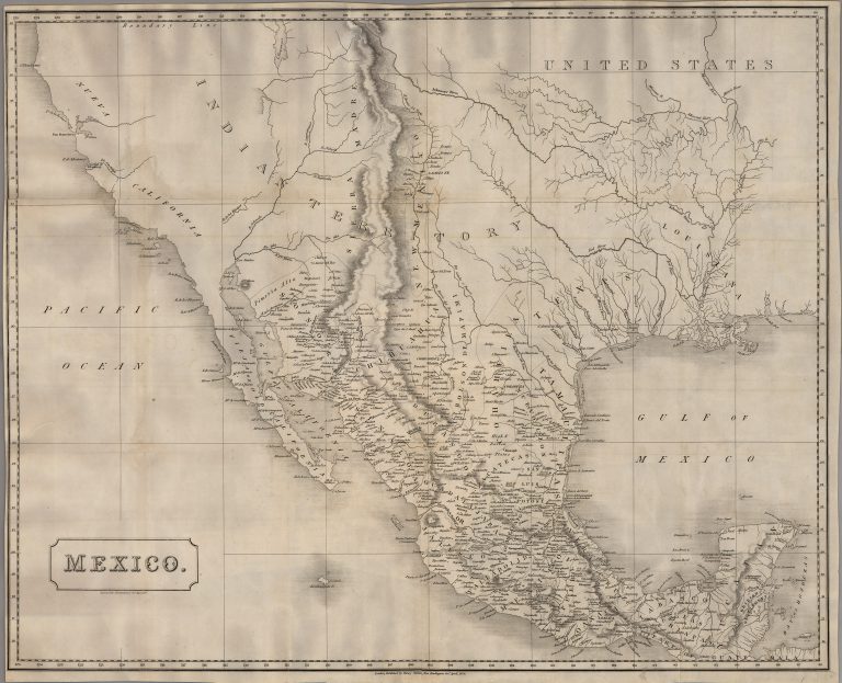
1828: Mexico
Sidney Hall
Map of Mexico, published in London as an independent wall map and not part of an atlas, indicating European interest … See more Mexico
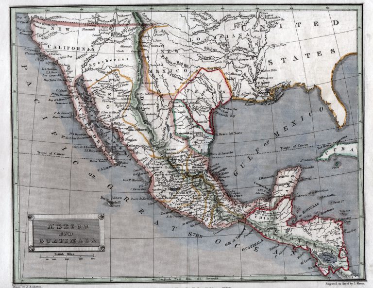
1829: Mexico and Guatimala
Thomas Tegg
This 1829 map, by London-based printer Thomas Tegg, shows a diamond-shaped Texas as its own state in Mexico, but as … See more Mexico and Guatimala
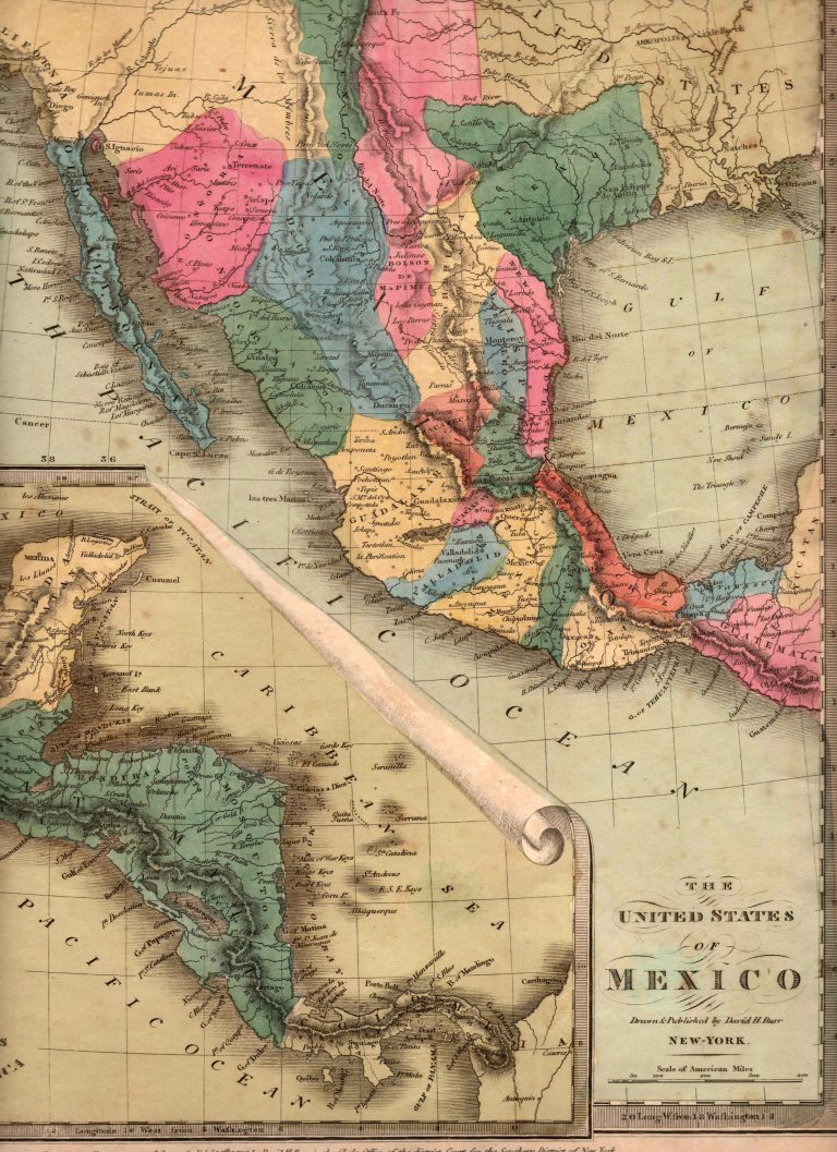
1832/1835: The United States of Mexico
An interesting map by American cartographer David Burr, showing the Mexican state of TEXAS, with its border with Coahuila located … See more The United States of Mexico
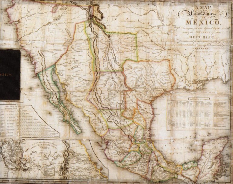
1834: Map of the United States of Mexico as Organized and Defined by the Congress of that Republic
Henry Schenck Tanner
This large pocket map includes two insets, a) Table of Distances and b) Map of the Roads from Vera Cruz … See more Map of the United States of Mexico as Organized and Defined by the Congress of that Republic
1834: Mexico & Guatemala
Henry Schenck Tanner
Includes insets of “Valley of Mexico” and “Guatemala.” While it has a copyright date of 1834, this map was actually … See more Mexico & Guatemala
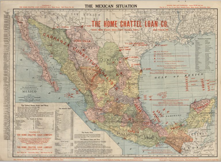
1914: The Mexican Situation
McNally & Company
The Mexican Situation map was created by the Home Chattel Loan Company of Chicago, Illinois, by simply overprinting a standard … See more The Mexican Situation