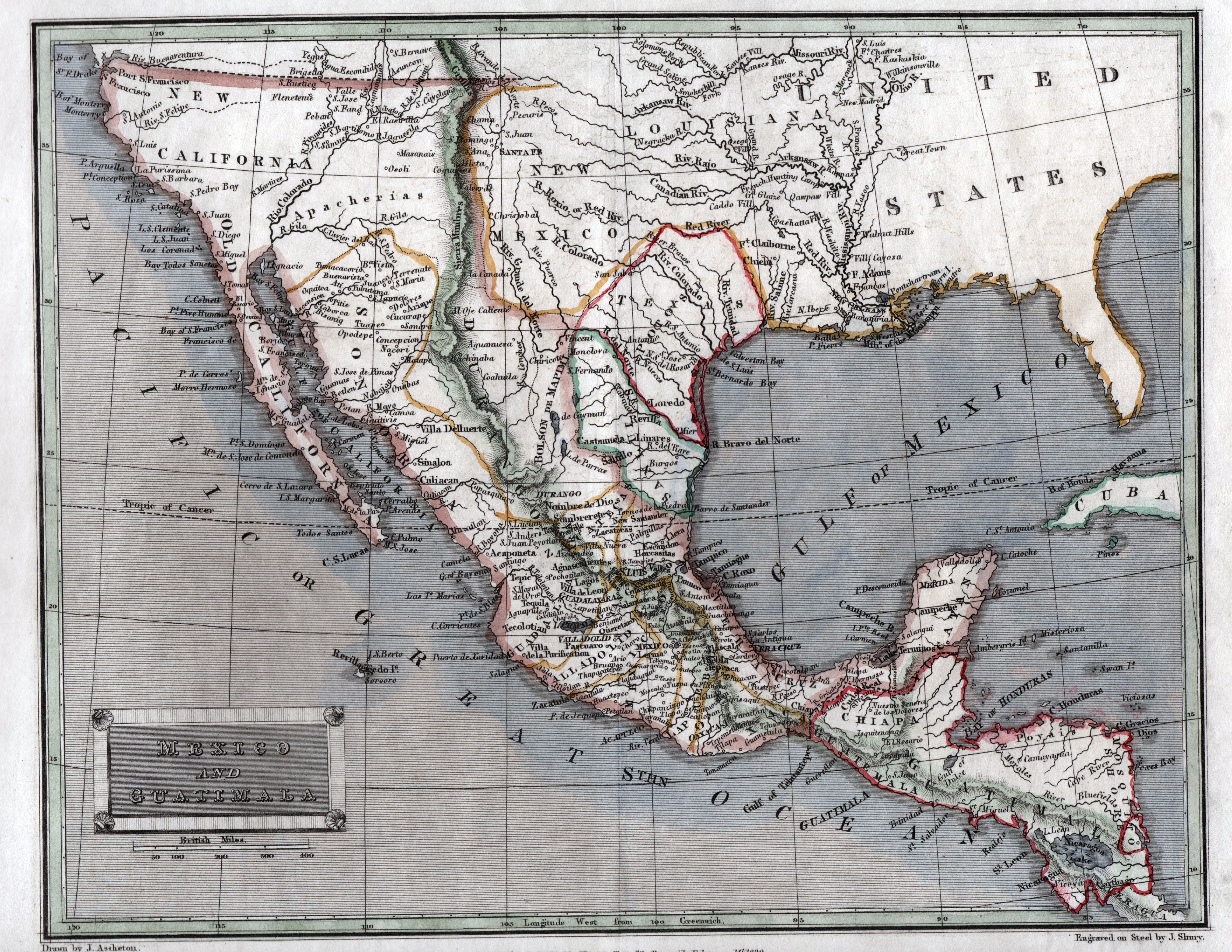
This 1829 map, by London-based printer Thomas Tegg, shows a diamond-shaped Texas as its own state in Mexico, but as part of the larger Intendencia of San Lois Potosi. Steel engraved and hand-colored, this map was printed in Tegg’s ambitious and very popular 44-volume London Encyclopaedia or Universal Dictionary of Science , Art, Literature and Practical Mechanics.
1829 Mexico and Guatimala
Cartography: J. Shurry, Thomas Tegg