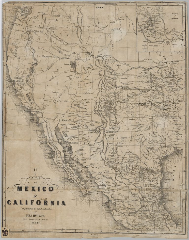
Julius Hutawa was a lithographer and printer based out of St. Louis, Missouri. He specialized in making maps for western … See more Map of Mexico and California
Date: 1849 (4 Maps with Images)
Show All Maps2
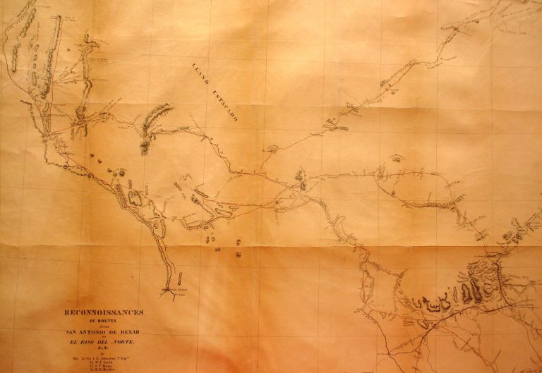
1849: Reconnaissances of Routes From San Antonio de Bexar to El Paso del Norte
Cartography:
Joseph E. Johnston
Joseph E. Johnston
While the Treaty of Guadalupe-Hidalgo was being negotiated in February of 1948, formally bringing an end to the U.S.-Mexico War, … See more Reconnaissances of Routes From San Antonio de Bexar to El Paso del Norte
3
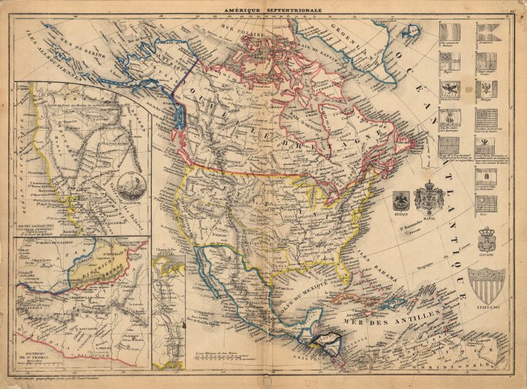
1849: Amerique Septentrionale
Cartography:
Philippe Vandermaelen
Philippe Vandermaelen
This 1849 map perhaps the first map made using the lithographic process to show the Republic of Texas. Printed by Philippe Vandermaelen … See more Amerique Septentrionale
4
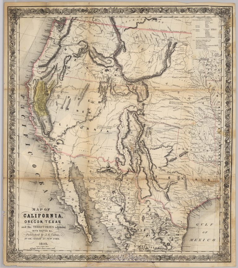
1849: Map of California, Oregon, Texas, and the Territories Adjoining
Cartography:
Joseph Hutchins Colton
Joseph Hutchins Colton
Joseph Hutchins Colton’s 1849 map is one of the most accurate of the period that was printed to satisfy the … See more Map of California, Oregon, Texas, and the Territories Adjoining