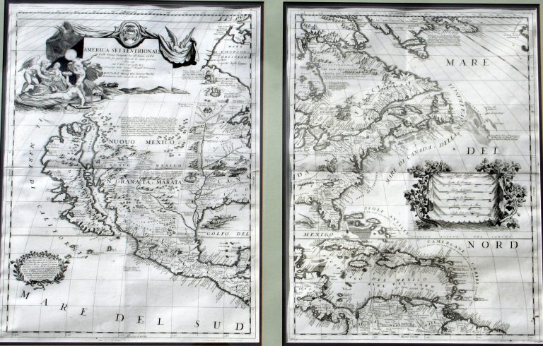
This was one of the most influential maps of North America published in the late 17th Century. Coronelli was a … See more America Settentrionale
Geography: America (6 Maps with Images)
Show All Maps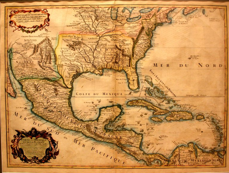
1703/1708: Carte du Mexique et de la Floride
Guillaume Del'Isle
This map, by French cartographer Guillaume Del’Isle (1675-1726), shows both the Mississippi River and the Rio Grande, thus making it … See more Carte du Mexique et de la Floride
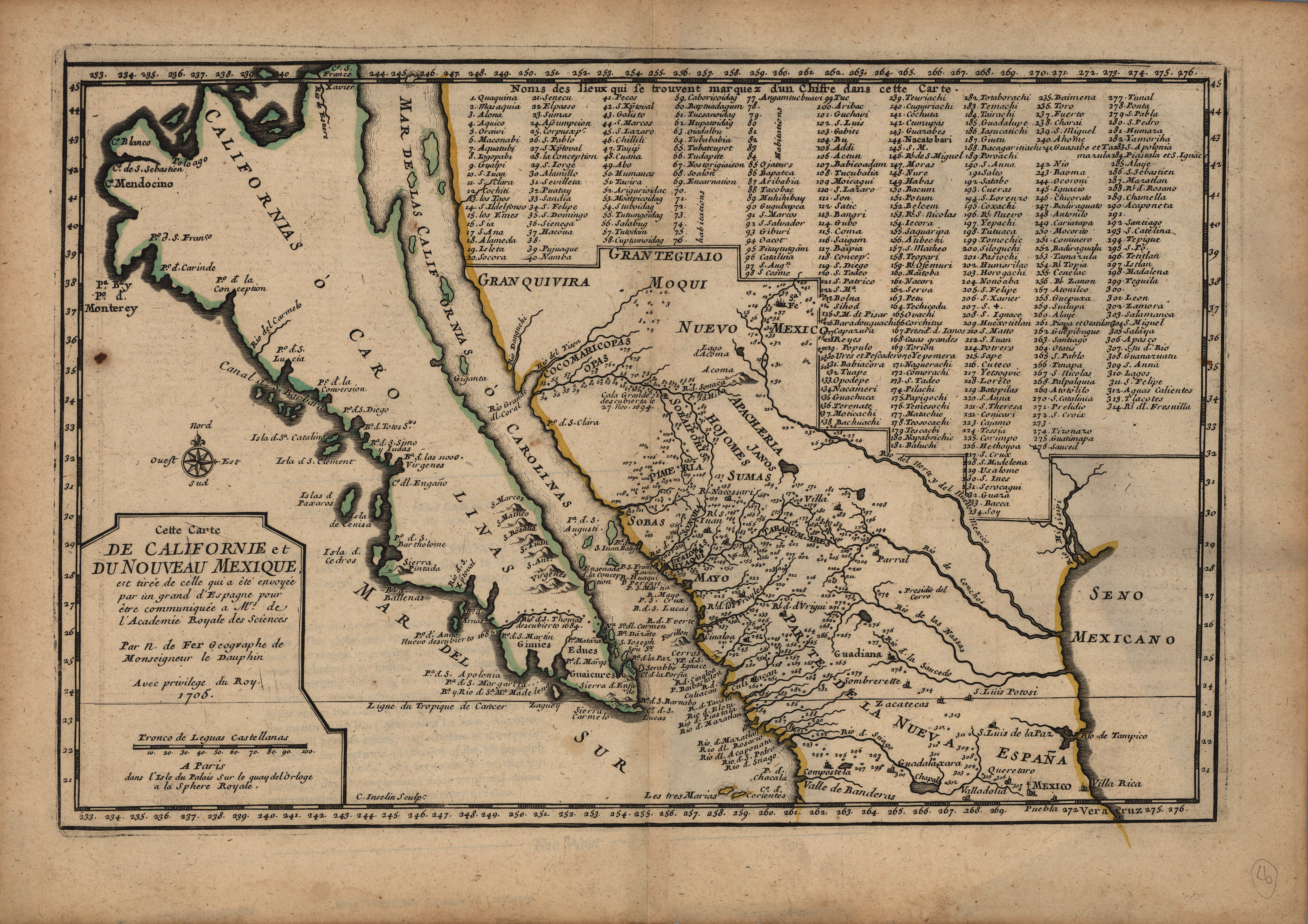
1705: Carte de Californie et du Nouveau Mexique
Nicolas de Fer
Copper engraved in Paris in 1705 and published in De Fer’s L’Atlas Curieux, this map is based on the explorations … See more Carte de Californie et du Nouveau Mexique
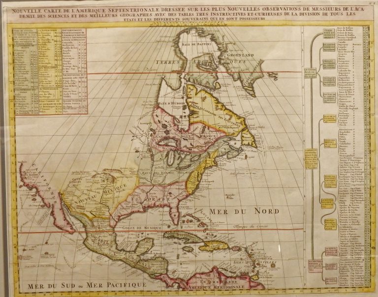
1705: Nouvelle Carte de L’Amerique Septentrionale
Henri Chatelain
Published by Chatelain in Amsterdam in the 1705 edition of his Atlas Historique. Shows some of the first correct depictions … See more Nouvelle Carte de L’Amerique Septentrionale
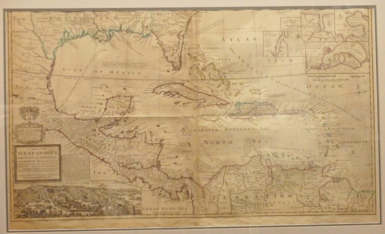
1715: A Map of the West Indies or the Islands of America in the North Sea, with ye adjacent Countries
Herman Moll
One of the most remarkable maps of the West Indies to appear in the 18th Century. In addition to showing … See more A Map of the West Indies or the Islands of America in the North Sea, with ye adjacent Countries
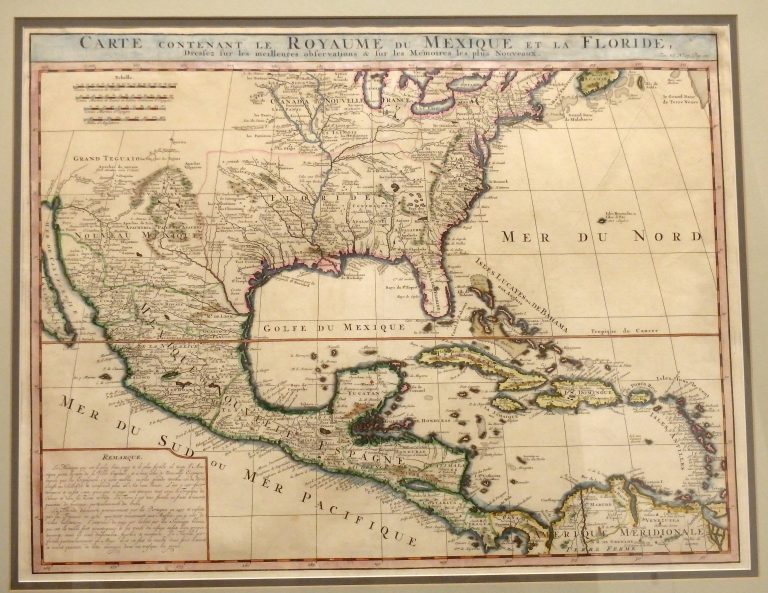
1719: Carte Contenant Le Royaume Du Mexique Et La Floride
Henri Chatelain
This 1719 map by Dutch cartographer Henri Chatelain, covering the southern portion of North America, was basically an updated map … See more Carte Contenant Le Royaume Du Mexique Et La Floride
