Printed in Weimar, Germany
Geography: United States (21 Maps)
Show Maps with Images Only12
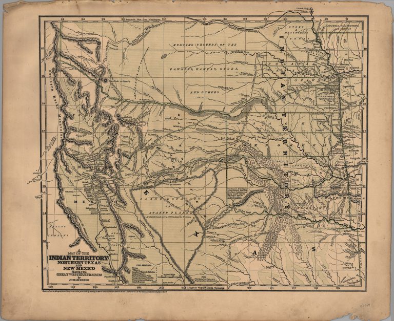
1844: A Map of Indian Territory, Northern Texas and New Mexico, showing the Great Western Prairies
Cartography:
Josiah Gregg
Josiah Gregg
This map was published by Josiah Gregg in his book Commerce of the Prairies in 1844 and in his Atlas … See more A Map of Indian Territory, Northern Texas and New Mexico, showing the Great Western Prairies
13
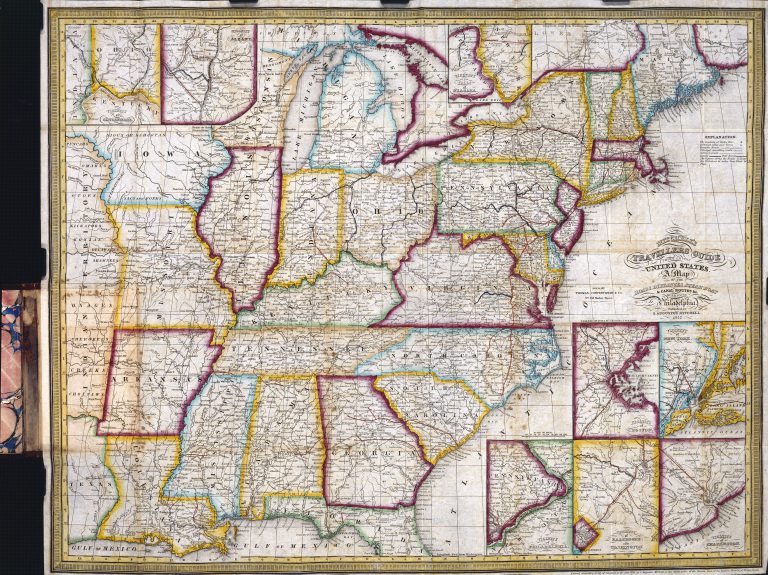
1847: Mitchell’s New Travelers Guide Through the United States
Cartography:
Charles Desilver
Charles Desilver
Depicting the eastern half of the United States, from Texas to the Atlantic seaboard, this 1847 map was made with … See more Mitchell’s New Travelers Guide Through the United States
14
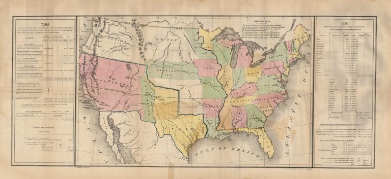
1848: Lines of Treaty Map of the United States between 1783 and 1848
Cartography:
U.S. Government
U.S. Government
This map shows the United States following the US-Mexico War (1846-48), but prior to the Compromise of 1850 and the … See more Lines of Treaty Map of the United States between 1783 and 1848
15
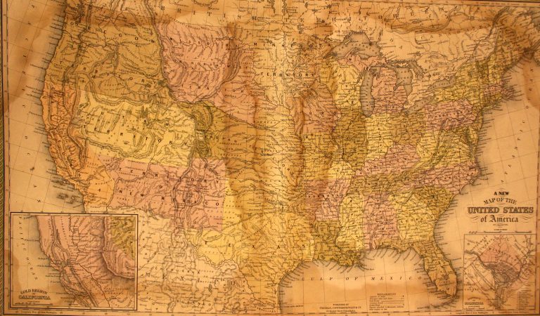
1850: A New Map of the United States
Cartography:
J. H. Young
J. H. Young
This is the first map to show Texas following the Compromise of 1850. From early on in American history, the … See more A New Map of the United States
16
1857: Map of the United States and their Territories Between the Mississippi and the Pacific Ocean, and Part of Mexico
Cartography:
William H. Emory
William H. Emory
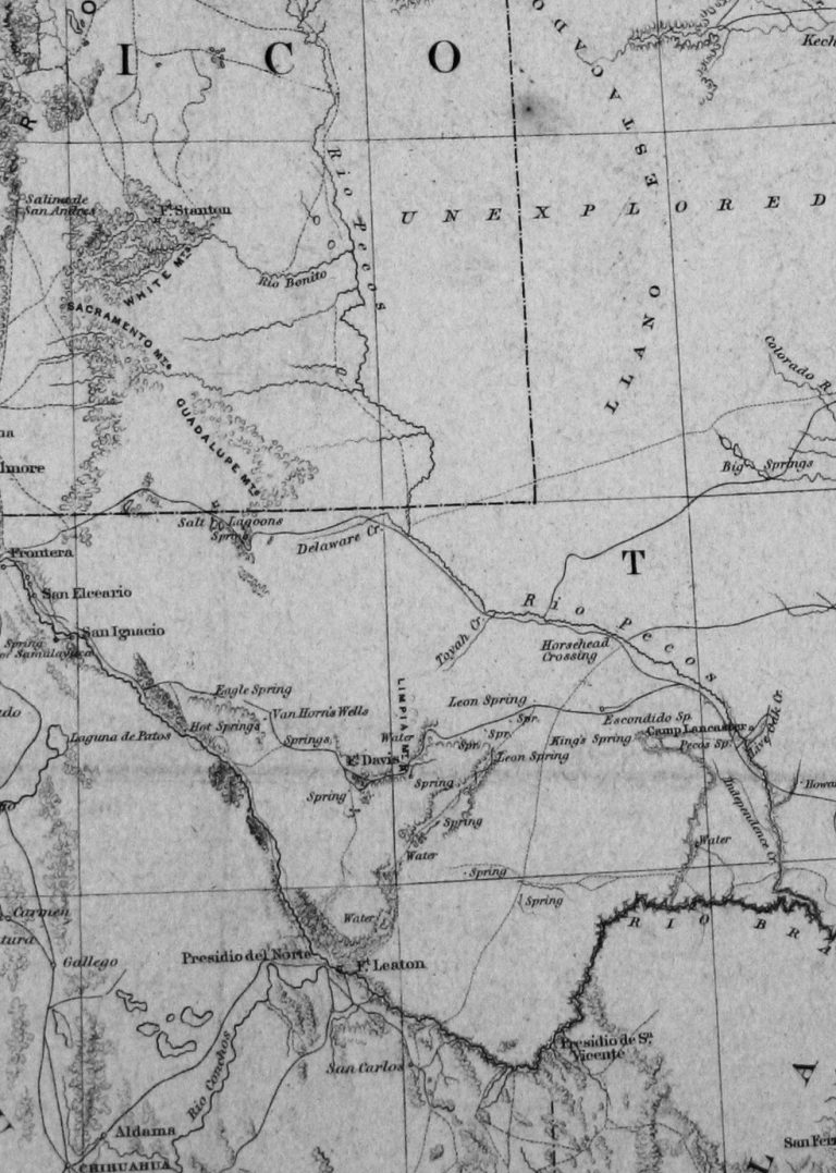
Article V of the Treaty of Guadalupe-Hidalgo, which ended the U.S.-Mexico War, specified in part that In order to designate … See more Map of the United States and their Territories Between the Mississippi and the Pacific Ocean, and Part of Mexico
17
1857: Military Map of the United States
Cartography:
U.S. War Department
U.S. War Department
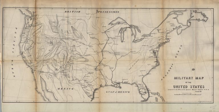
Interesting map of the United States, focusing on the Military Forts and Military Districts between the US-Mexico War and the … See more Military Map of the United States
18
1863: Frank Leslie’s War Map
Cartography:
George Woolworth Colton
George Woolworth Colton
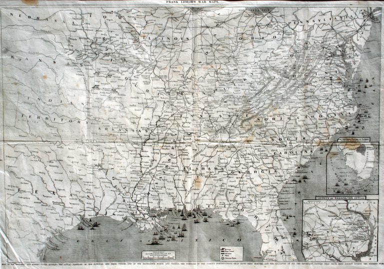
On 1 January 1863, Confederate forces under the command of General John Bankhead Magruder recaptured the city of Galveston from … See more Frank Leslie’s War Map
19
1864: Map of the United States Showing the Territory of the Federal Union, January 1864
Cartography:
George Washington Bacon
George Washington Bacon
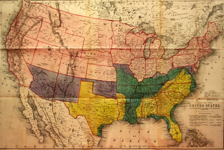
This map was produced by London-based book and map publisher George Washington Bacon, one of the foremost printing firms in … See more Map of the United States Showing the Territory of the Federal Union, January 1864
20
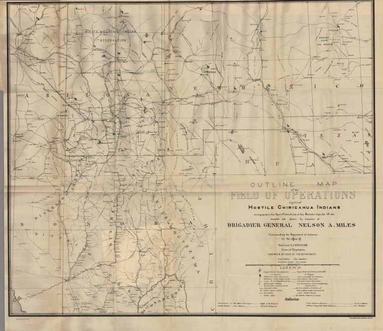
1886: Outline Map of the Field of Operations Against Hostile Chiricahua Indians… Compiled and Drawn by Direction of Brigadier General Nelson A. Miles
Cartography:
U.S. Government
U.S. Government
During the Civil War, Nelson Appleton Miles of Massachusetts displayed remarkable leadership in the field, won the Medal of Honor, and rose … See more Outline Map of the Field of Operations Against Hostile Chiricahua Indians… Compiled and Drawn by Direction of Brigadier General Nelson A. Miles