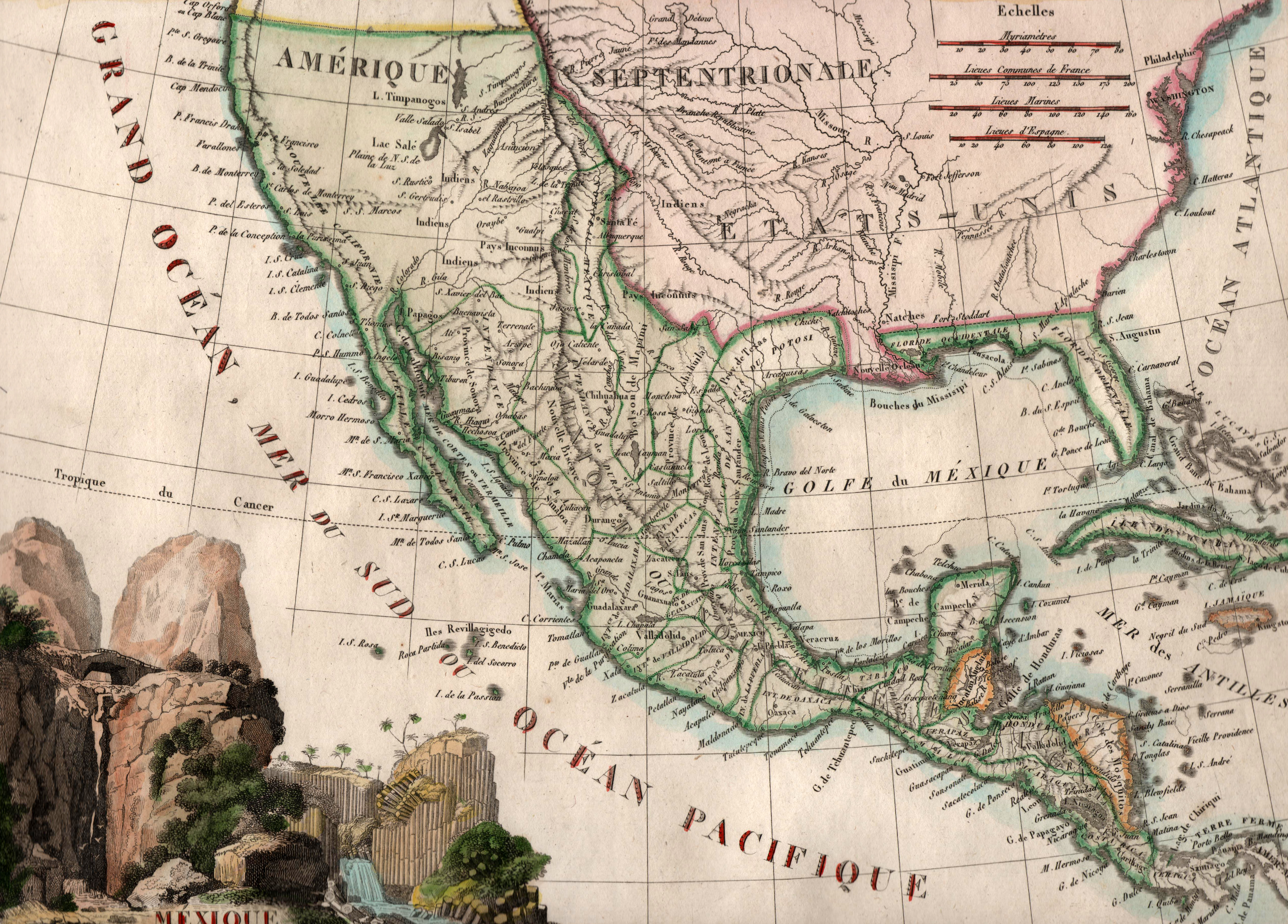
Printed by French cartographer J. B. Tardieu in 1812, just two years after independence was declared from Spain, this map … See more Mexique
Geography: Mexico (3 Maps with Images)
Show All Maps12
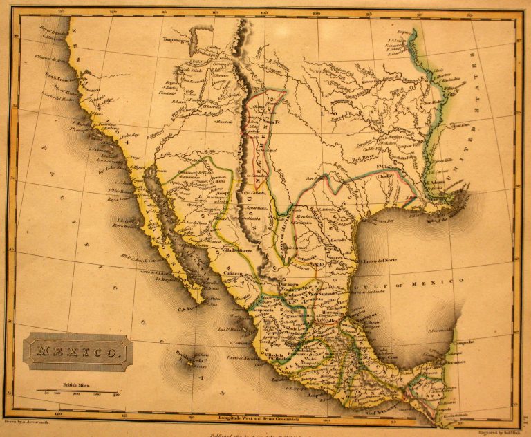
1817: Mexico
Cartography:
Aaron Arrowsmith
Aaron Arrowsmith
In 1785, the Spanish crown divided New Spain (Mexico) into administrative districts known as “Intendencias.” Texas, which had been part of … See more Mexico
13
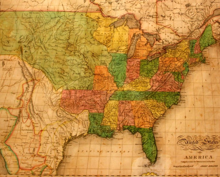
1822: United States of America
Cartography:
John Melish
John Melish
This is the first map in the collection at the Museum of the Big Bend to show Texas as a … See more United States of America