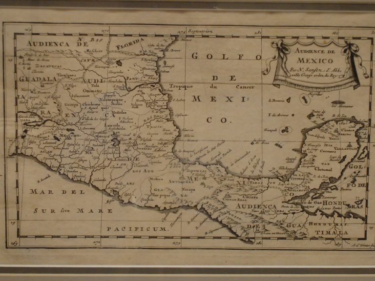
One of the earliest regional maps of Mexico, including the Yucatan and part of Central America. From the 1662 edition … See more Audience de Mexico
Geography: Mexico (2 Maps with Images)
Show All Maps2
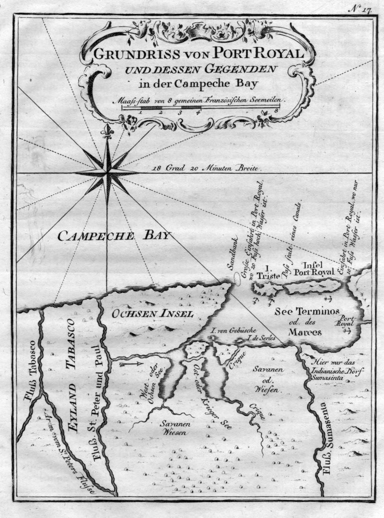
1756: Grundriss von Port Royal und dessen Gegenden in der Campeche Bay
Cartography:
Jacques Bellin
Jacques Bellin
A map of the Bay of Campeche, in Mexico, published in 1756. The Island of Port Royal is today known … See more Grundriss von Port Royal und dessen Gegenden in der Campeche Bay