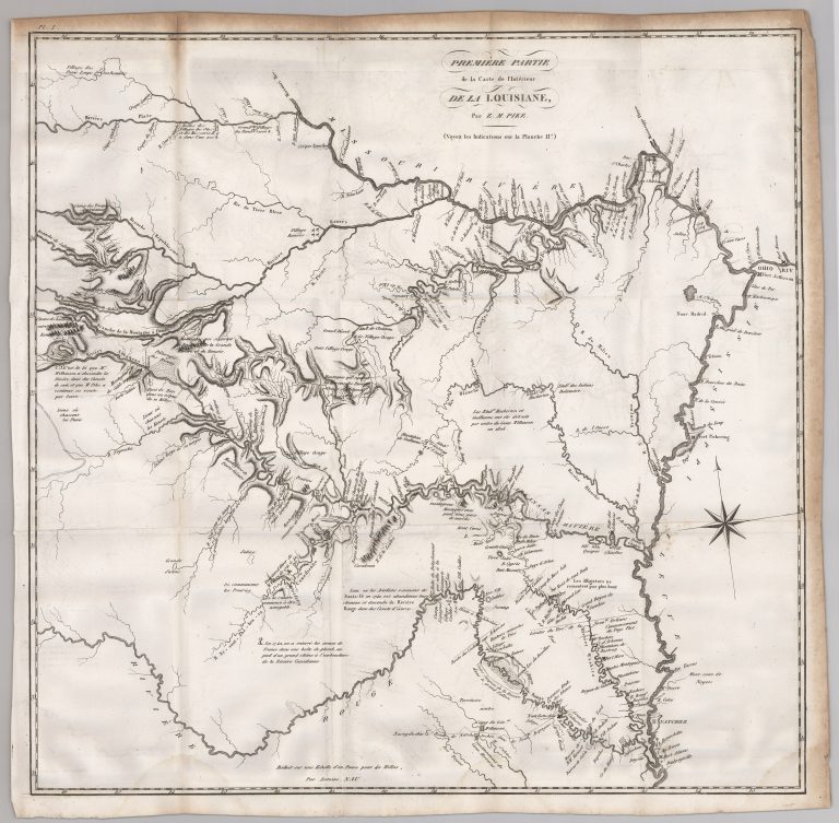
This map is from the French edition of Zebulon Pike’s 1810 report entitled An Account of Expeditions to the Sources … See more Premiere Partie de la Carte de l’Interieur de la Louisiane
Date: 1812 (4 Maps)
Show Maps with Images Only2
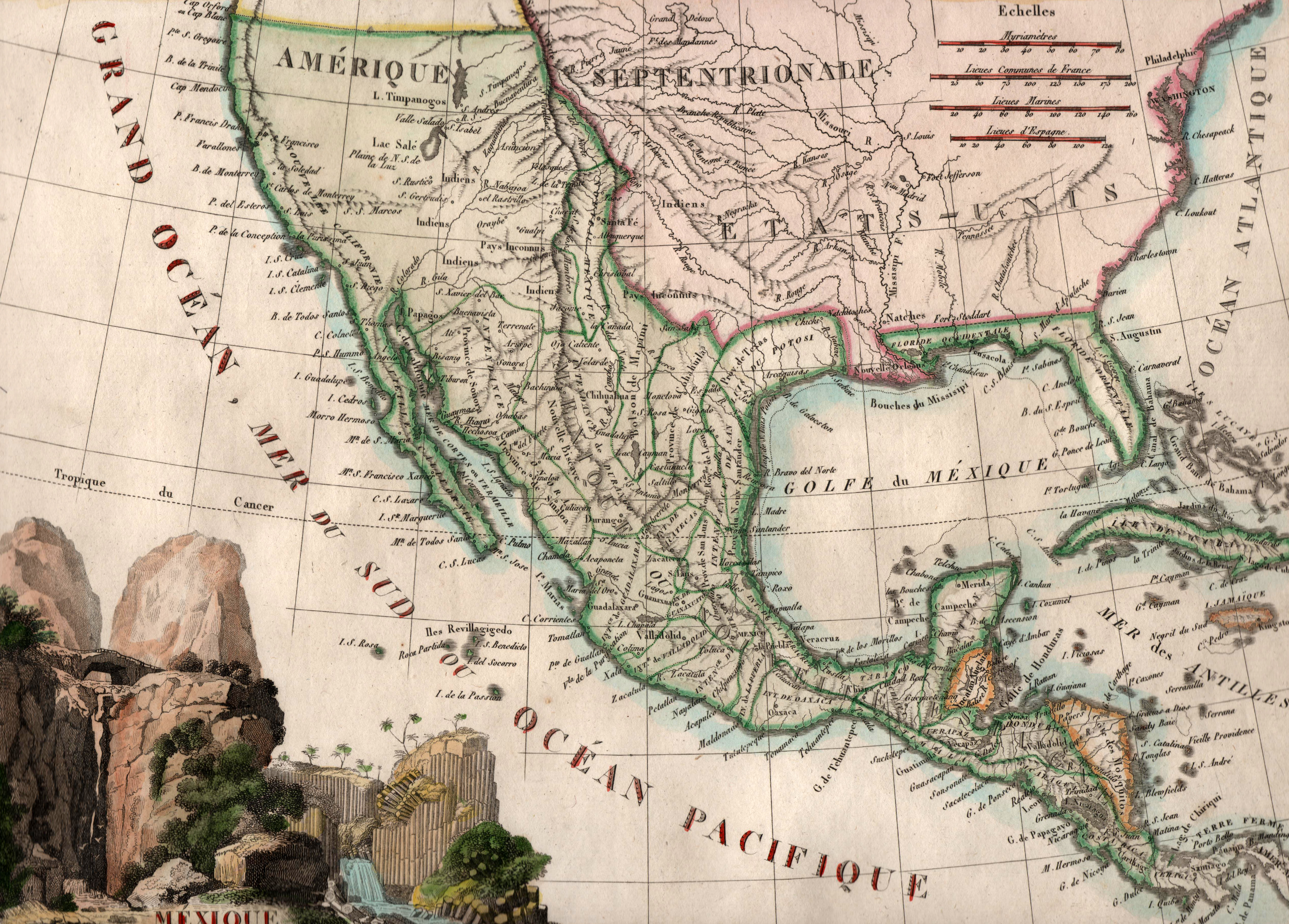
1812: Mexique
Cartography:
J. B. Tardieu
J. B. Tardieu
Printed by French cartographer J. B. Tardieu in 1812, just two years after independence was declared from Spain, this map … See more Mexique