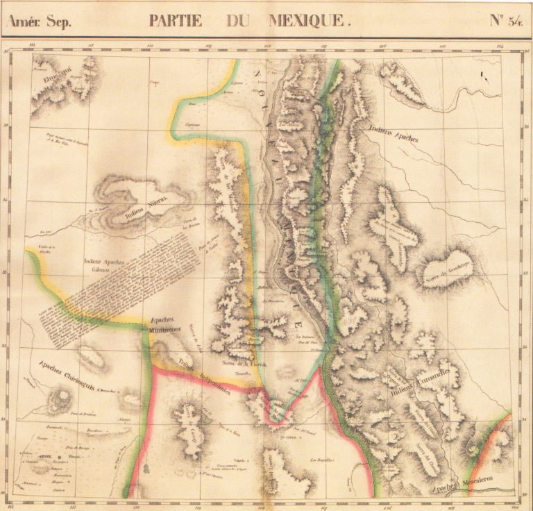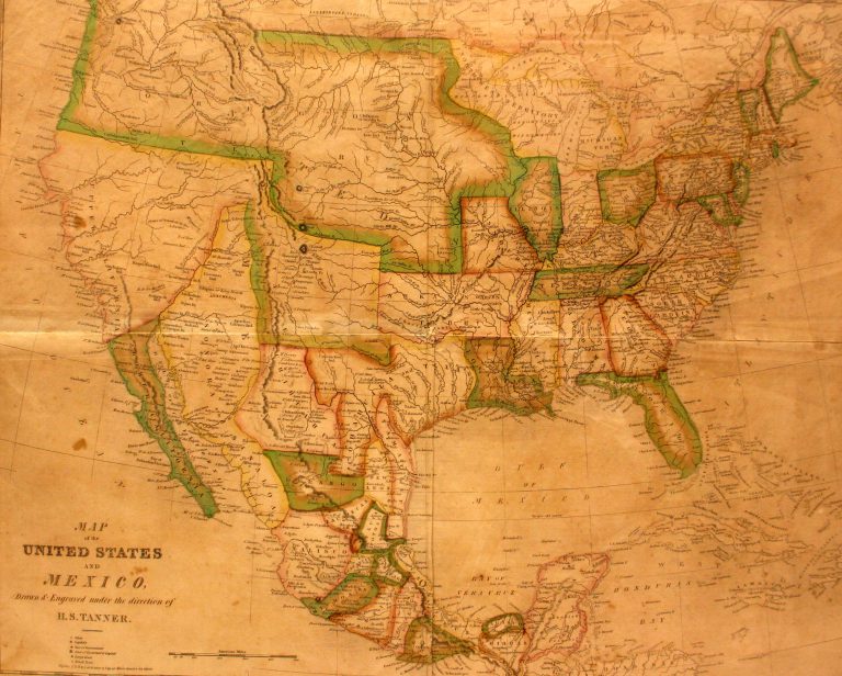
In 1824, Mexico passed a new constitution which combined the two states of Texas and Coahuila, and this is the … See more Smiley’s Geography Atlas map of the United States and Mexico
Date: 1827 (3 Maps with Images)
Show All Maps2
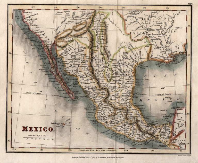
1827: Mexico
Cartography:
Neely & Sons
Neely & Sons
Map of Mexico, printed in England in 1827. The region of Texas between the Red River and the Pecos (Puerco) … See more Mexico