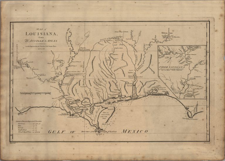
The original map by Jean Baptiste Bourguignon d’Anville was published in 1756. It clearly identifies the location of Los Adaes … See more Map of Louisiana
Date: 1756 (4 Maps)
Show Maps with Images Only2

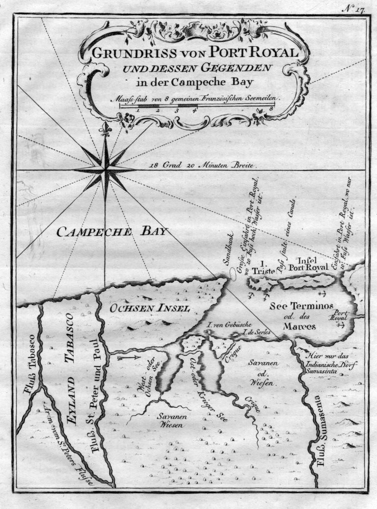
1756: Grundriss von Port Royal und dessen Gegenden in der Campeche Bay
Cartography:
Jacques Bellin
Jacques Bellin
A map of the Bay of Campeche, in Mexico, published in 1756. The Island of Port Royal is today known … See more Grundriss von Port Royal und dessen Gegenden in der Campeche Bay
