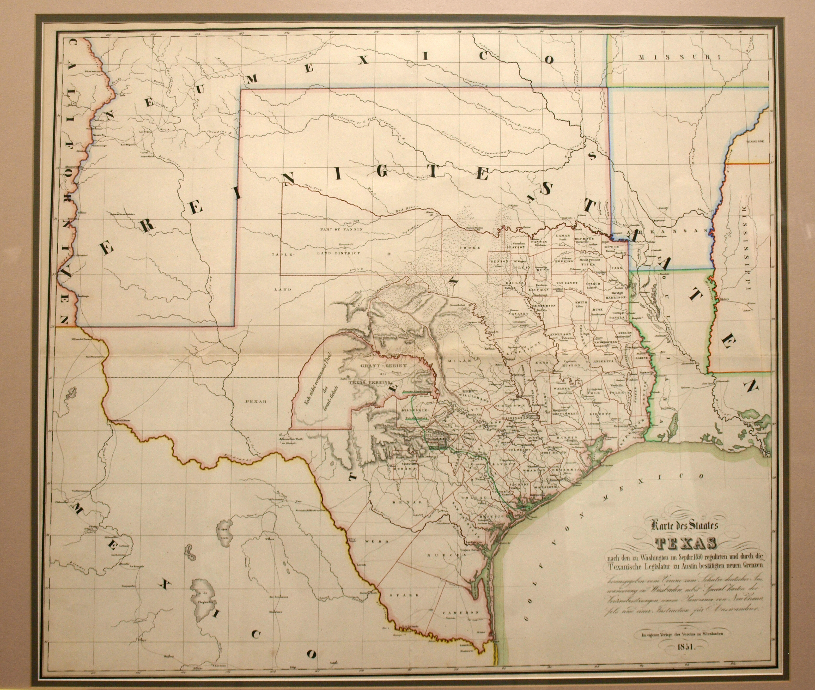
Map published by the German Emigrant’s Association (Verein) in a guidebook to prospective emigrants planning on relocating to Texas. The primary purpose was to show the location of the Verein’s 1851 grant in the Texas Hill Country, although the land had not yet been surveyed and the actual boundary of the grant was very incorrect. On the map, the northern and western boundary are shown as being the Colorado River, which is depicted as curving southward to near present-day Del Rio, Texas, while in actuality it is born near present-day Lubbock, Texas. The grant requirements, to settle 500 families in the region within 3 years, were never fulfilled.
1851 Karte des Staates Texas
Cartography: Verein zum Schutzer Deustcher