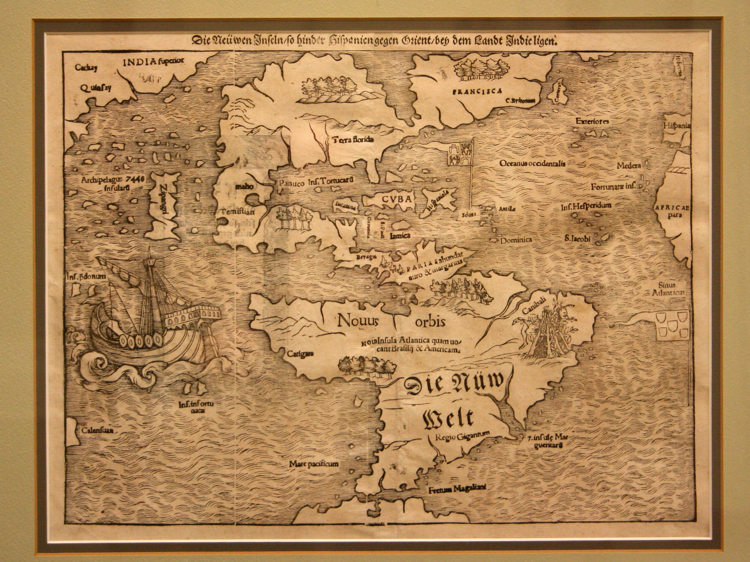
Printed from a woodcut, this map is the oldest one in the collection to show America surrounded by water on both sides. Based partly on the explorations of Florentine sailor Giovanni de Verrazzano, it shows the non-existent “Sea of Verrazzano” near the coast of present-day North Carolina. Verrazzano, like most other early explorers, was searching for the fabled Northwest Passage, a water route from Europe to Asia; while sailing near present-day Cape Hatteras, he mistook the Pamlico Sound for the Pacific Ocean.
1550 Die Newwen Inselin
Cartography: Sebastian Munster
