Printed in Paris
Theme: Educational (17 Maps)
Show Maps with Images Only17
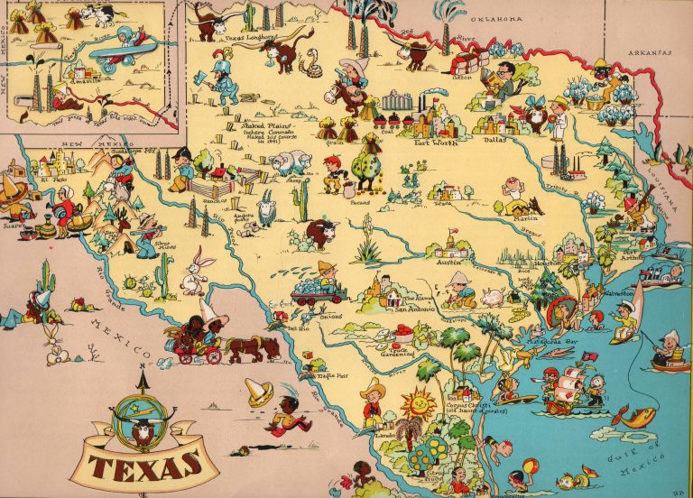
1935: Texas
Cartography:
Ruth Taylor
Ruth Taylor
Published in the Atlas “Gay Geography” by her brother Frank Taylor, this map of Texas by Ruth Taylor was designed, … See more Texas